Rognstad Teglverk
Location: Østre Toten Municipality
GPS coordinates: 60.65918,10.94458
Latest update: November 4, 2025 06:43

Kraftstasjon
718 m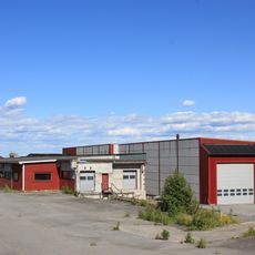
Kværnum bruk
1.3 km
Mølle på Galgerudbruket
638 m
Leiruttak
657 m
Mølla på Sveen/Møller
205 m
Kjølseth meieri
1.5 km
Brohaug Garveri
600 m
Veit til kraftstasjon
1.4 km
Kvernveit til mølla på Sveen
144 m
Kvernveit til teglverket på Østre Rognstad
337 m
Dyren
975 m
Spinneridammen
914 m
Balke østre, østre balke, kirke-balke
1.1 km
Verkensdammen
467 m
Veit
866 m
Gammel mølleplass
1.4 km
Frørenseri, kornrenseri.
1.3 km
Anton Balkes elektrisitetsverk
676 m
Balke vestre
984 m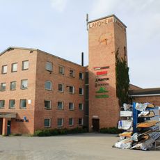
Landheim Veveri
690 m
Rognstad
691 m
Kraftstasjon, Fossen
1.3 km
Skådammen
1.5 km
Sag, Fossen
1.3 km
A/S Opland Potetmelfabrikk
1.2 km
Brustu-Mølle, Jeriko Mølle
666 m
Fossen Meieri
912 m
Kvernveit fra elva til Balke kraftstasjon
523 mReviews
Visited this place? Tap the stars to rate it and share your experience / photos with the community! Try now! You can cancel it anytime.
Discover hidden gems everywhere you go!
From secret cafés to breathtaking viewpoints, skip the crowded tourist spots and find places that match your style. Our app makes it easy with voice search, smart filtering, route optimization, and insider tips from travelers worldwide. Download now for the complete mobile experience.

A unique approach to discovering new places❞
— Le Figaro
All the places worth exploring❞
— France Info
A tailor-made excursion in just a few clicks❞
— 20 Minutes