Rukkedalen
Location: Nesbyen municipality
GPS coordinates: 60.53675,8.92771
Latest update: October 29, 2025 13:41
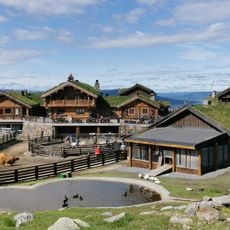
Langedrag Naturpark
10.4 km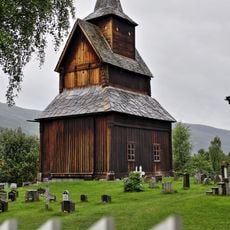
Torpo stave church
18.6 km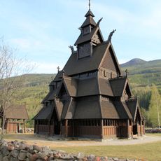
Gol new Stave Church
18 km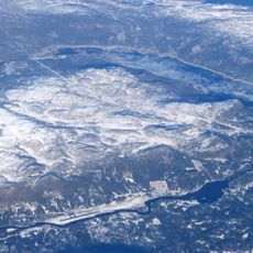
Pålsbufjorden
18 km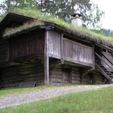
Hallingdal Museum
9.6 km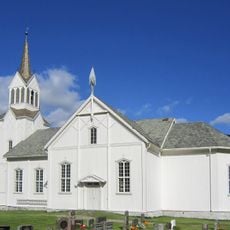
Nes Church
10.2 km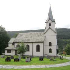
Torpo Church
18.6 km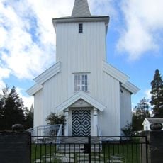
Tunhovd Church
13.3 km
Blåbærhovda
3 km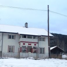
Hoftun øvre
18.7 km
Thoenstua (Ton), Hallingdal museum
9.4 km
Troll
15.4 km
Scenic viewpoint
11.9 km
Gol Motor & Fritidspark
17.9 km
Hallingparken
18 km
Work of art, sculpture
18.4 km
Work of art, installation artwork
18.3 km
Dyna (1212)
12.8 km
Scenic viewpoint
17.7 km
Scenic viewpoint
13.5 km
Hallingglass
18.4 km
Utsikten
12.7 km
Scenic viewpoint
12.7 km
Scenic viewpoint
7.2 km
Scenic viewpoint
18 km
Vesle Beia
10.4 km
Scenic viewpoint
11.8 km
Scenic viewpoint
13.5 kmReviews
Visited this place? Tap the stars to rate it and share your experience / photos with the community! Try now! You can cancel it anytime.
Discover hidden gems everywhere you go!
From secret cafés to breathtaking viewpoints, skip the crowded tourist spots and find places that match your style. Our app makes it easy with voice search, smart filtering, route optimization, and insider tips from travelers worldwide. Download now for the complete mobile experience.

A unique approach to discovering new places❞
— Le Figaro
All the places worth exploring❞
— France Info
A tailor-made excursion in just a few clicks❞
— 20 Minutes