Trøen
Location: Holtålen Municipality
GPS coordinates: 62.77222,11.19053
Latest update: November 1, 2025 08:59
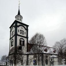
Røros Church
23.9 km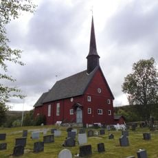
Hessdalen Church
2.1 km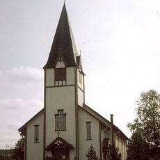
Ålen Church
9.3 km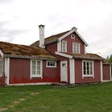
Ratvolden
9.8 km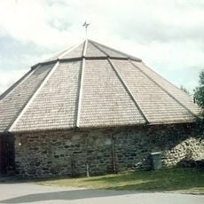
Røros Chapel
23.7 km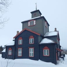
Glåmos Church
16.5 km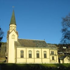
Haltdalen Church
17.3 km
Røros fjellkirke
21.3 km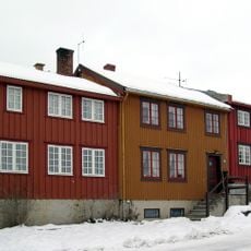
Kjerkgata 58
23.9 km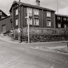
Reimersberget
23.9 km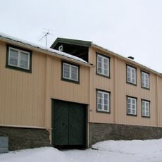
Kjerkgata 54
23.9 km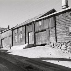
Tørresgården
23.9 km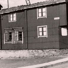
Kjerkgata 60
23.9 km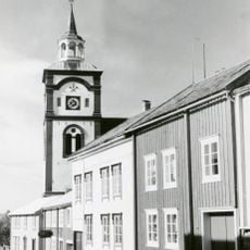
Kjerkgata 52 - Grådalsstuggu
23.9 km
Nedre Storwartz
23.7 km
Aasen-gården
23.9 km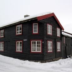
Svenskveien 1 - Persan
23.9 km
Kjerkgata 56
23.9 km
Innskrift/ristning
14.2 km
Dahlengården (Dalsgården)
23.9 km
Christian Sextus gruve
12.2 km
Maleren Harald Sohlberg
23.9 km
Work of art
23.6 km
Work of art
23.6 km
Scenic viewpoint
21.3 km
Scenic viewpoint
22 km
Summit, hill, scenic viewpoint, mountain
21.4 km
Eafossen utsiktspunkt
9.7 kmReviews
Visited this place? Tap the stars to rate it and share your experience / photos with the community! Try now! You can cancel it anytime.
Discover hidden gems everywhere you go!
From secret cafés to breathtaking viewpoints, skip the crowded tourist spots and find places that match your style. Our app makes it easy with voice search, smart filtering, route optimization, and insider tips from travelers worldwide. Download now for the complete mobile experience.

A unique approach to discovering new places❞
— Le Figaro
All the places worth exploring❞
— France Info
A tailor-made excursion in just a few clicks❞
— 20 Minutes