Helgeberget, Søndre
Location: Grue Municipality
GPS coordinates: 60.39573,12.43905
Latest update: November 1, 2025 08:51
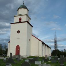
Grue Church
22 km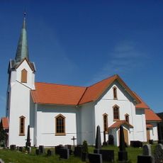
Brandval Church
25.1 km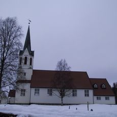
Grue Finnskog Church
3.1 km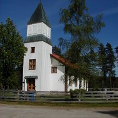
Lundersæter Church
14 km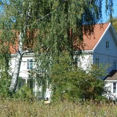
Hof prestegård
24.6 km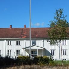
Grue prestegård
23.5 km
NYGÅRD, Gruetunet Museum
21 km
Nytorpet, Øvre
22 km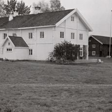
KONGSHOV (Kongshaug)
21.9 km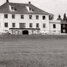
Opset
24.1 km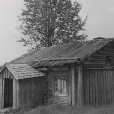
Skredderbråtan
6.7 km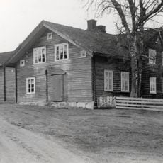
Tvengsberget
5.6 km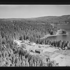
Bergersæter
16.5 km
Oppkjølen
21.7 km
Holen (Helgebergsholden)
346 m
Grinder
22.5 km
Trollkorset
15.5 km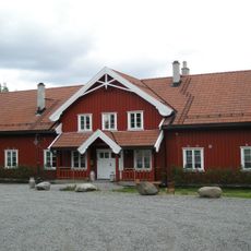
Opaker Oppåker
24.2 km
Kopparsmyra
21.8 km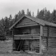
Hytjanstorpet
12.6 km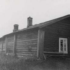
Sollien
11.2 km
Lekvattnet 219
22.9 km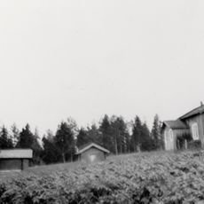
Østberget, Nordre
4.8 km
Södra Finnskoga 631:1
21.9 km
Korset i Röjden
22.1 km
Old bridge
23.5 km
Nils Iversen
21 km
Scenic viewpoint
12.3 kmReviews
Visited this place? Tap the stars to rate it and share your experience / photos with the community! Try now! You can cancel it anytime.
Discover hidden gems everywhere you go!
From secret cafés to breathtaking viewpoints, skip the crowded tourist spots and find places that match your style. Our app makes it easy with voice search, smart filtering, route optimization, and insider tips from travelers worldwide. Download now for the complete mobile experience.

A unique approach to discovering new places❞
— Le Figaro
All the places worth exploring❞
— France Info
A tailor-made excursion in just a few clicks❞
— 20 Minutes