Breistølen
Location: Suldal Municipality
GPS coordinates: 59.69247,6.78395
Latest update: November 2, 2025 03:18
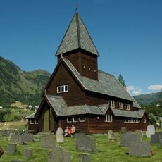
Røldal stave church
15.6 km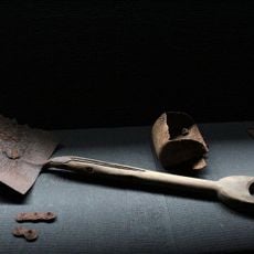
Zinc mine museum Sauda
18.3 km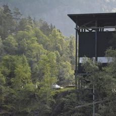
Allmannajuvet
18.3 km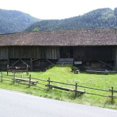
Kolbeinstveit
24.2 km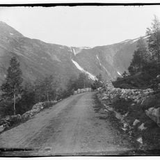
Novlefoss
16.3 km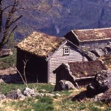
Røynevarden
10.2 km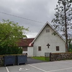
Solbrekk chapel
24.1 km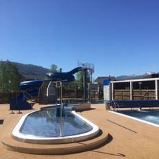
Saudahallen
24.4 km
KOLBEINSTVEIT, museum
24.2 km
Horda - Skålgropstein, Fjellstølen
15 km
Storhedder
21.8 km
Tråskår
24 km
1892 Skule born 1992
24.6 km
Rondehaugen
23.3 km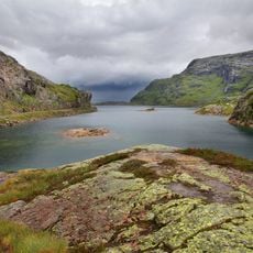
Svartavatnet
9.3 km
Turbin
24.6 km
Work of art, sculpture
23.7 km
Sculpture, Work of art
23.6 km
Scenic viewpoint
19 km
Fabrikkarbeidaren
24.2 km
Fossefall
1.8 km
Scenic viewpoint
19.9 km
Scenic viewpoint
5.4 km
Scenic viewpoint
10.3 km
Scenic viewpoint
15.3 km
Scenic viewpoint
18.4 km
Scenic viewpoint
18.2 km
Scenic viewpoint
19.9 kmReviews
Visited this place? Tap the stars to rate it and share your experience / photos with the community! Try now! You can cancel it anytime.
Discover hidden gems everywhere you go!
From secret cafés to breathtaking viewpoints, skip the crowded tourist spots and find places that match your style. Our app makes it easy with voice search, smart filtering, route optimization, and insider tips from travelers worldwide. Download now for the complete mobile experience.

A unique approach to discovering new places❞
— Le Figaro
All the places worth exploring❞
— France Info
A tailor-made excursion in just a few clicks❞
— 20 Minutes