
Øvre vei 3, Karljohansvern
Location: Horten Municipality
GPS coordinates: 59.42471,10.49116
Latest update: April 29, 2025 03:04
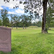
Borre mound cemetery
4.7 km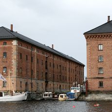
Karljohansvern
403 m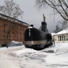
Royal Norwegian Navy Museum
259 m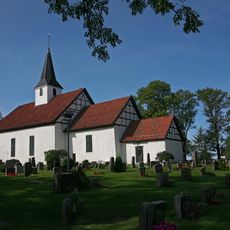
Borre Church
5 km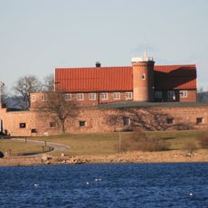
Norske Løve Fortress
2.1 km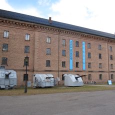
Preus Museum
251 m
Midgard Viking Centre
4.6 km
Borrevannet
3.5 km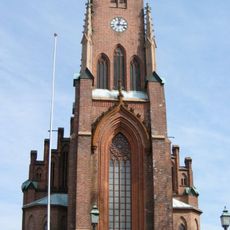
Horten Church
258 m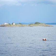
Gullholmen Lighthouse
5 km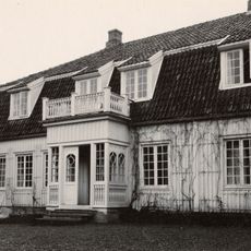
Falkensten
4 km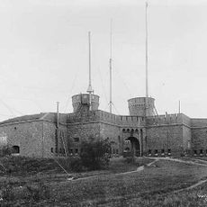
Citadellet
554 m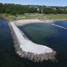
Rørestrand
3.2 km
Bastøy Lighthouse
5 km
Borre prestegård
5 km
Sentrumskyrkja i Horten
1.6 km
Bassengtaket
1.6 km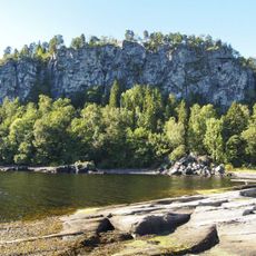
Løvøya
3.9 km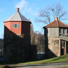
Kalkovnene på Karljohansvern
686 m
Vealøs
1.7 km
Réserve naturelle de Borrevannet
3.7 km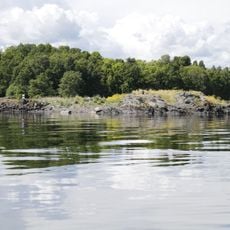
Bueskjær
2.1 km
Østøyskjæret
1.9 km
Falkenstendammen
3.8 km
Mellomøya
2.5 km
Falkensten
4.2 km
Reverompa
2.5 km
KARLJOHANSVERN ORLOGSSTASJON (område F4, Vealøs)
2 kmReviews
Visited this place? Tap the stars to rate it and share your experience / photos with the community! Try now! You can cancel it anytime.
Discover hidden gems everywhere you go!
From secret cafés to breathtaking viewpoints, skip the crowded tourist spots and find places that match your style. Our app makes it easy with voice search, smart filtering, route optimization, and insider tips from travelers worldwide. Download now for the complete mobile experience.

A unique approach to discovering new places❞
— Le Figaro
All the places worth exploring❞
— France Info
A tailor-made excursion in just a few clicks❞
— 20 Minutes