
Einarsneset
Location: Farsund Municipality
GPS coordinates: 58.05892,6.79252
Latest update: November 4, 2025 10:24
Einarsneset
1.2 km
Røyrtjønn
1.2 km
Einarsneset
573 m
Einarsneset
444 m
Einarsneset
313 m
Einarsneset
428 m
Einarsneset
389 m
Einarsneset
346 m
JONAS LUNDS HUS
1.7 km
Einarsneset
491 m
Einarsneset
365 m
Einarsneset
379 m
Kompassrose på Piltestøa
1.7 km
Einarsneset
483 m
Einarsneset
301 m
Einarsneset
432 m
Einarsneset
717 m
Skjolnesveten
1.6 km
Einarsneset
249 m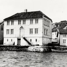
Kaperhuset (Sundtehuset)
1.5 km
Einarsneset
314 m
Einarsneset
396 m
Einarsneset
82 m
Einarsneset
285 m
Einarsneset
7 m
Einarsneset
420 m
Husebysanden
1.4 km
Lomsesanden
685 mReviews
Visited this place? Tap the stars to rate it and share your experience / photos with the community! Try now! You can cancel it anytime.
Discover hidden gems everywhere you go!
From secret cafés to breathtaking viewpoints, skip the crowded tourist spots and find places that match your style. Our app makes it easy with voice search, smart filtering, route optimization, and insider tips from travelers worldwide. Download now for the complete mobile experience.

A unique approach to discovering new places❞
— Le Figaro
All the places worth exploring❞
— France Info
A tailor-made excursion in just a few clicks❞
— 20 Minutes