
Kongesundet
Location: Flekkefjord Municipality
GPS coordinates: 58.22954,6.52460
Latest update: May 29, 2025 01:21

Jøssingfjord
14.7 km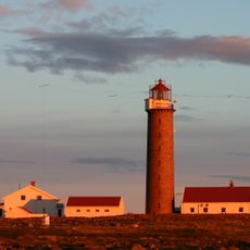
Lista Lighthouse
13.6 km
Fedafjorden
11.4 km
Varnes fyr
8.2 km
Grisefjorden
12.4 km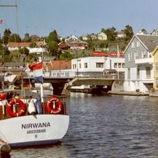
Stolsfjorden
9.1 km
Åpta misjonssenter
16.6 km
Øvregaten 27
17.4 km
Øvregaten 7
17.4 km
Øvregaten 15
17.4 km
Brubakken 11
17.5 km
MINDRE TRANSFORMATOR
17.4 km
Strandgaten 47
17.4 km
Penne
12 km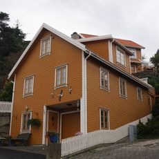
Årosveien 26b
17.3 km
Strandgaten 40
17.4 km
PUMPESTASJON
17.4 km
Brubakken 1
17.4 km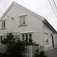
Øvregaten 9
17.4 km
Brubakken 5
17.4 km
Brubakken 13
17.1 km
ØVREGT 11
17.4 km
Fiskeri- og sjøfartsmuseet, Sogndalstrand
17.4 km
Sandvikveien 1
17.4 km
Pennefeltet (Jærberget)
12 km
Øvregaten 19
17.4 km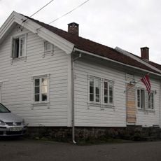
Øvregaten 13
17.4 km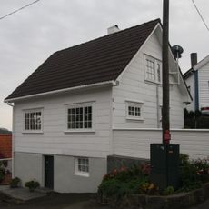
ØVREGT 29
17.4 kmReviews
Visited this place? Tap the stars to rate it and share your experience / photos with the community! Try now! You can cancel it anytime.
Discover hidden gems everywhere you go!
From secret cafés to breathtaking viewpoints, skip the crowded tourist spots and find places that match your style. Our app makes it easy with voice search, smart filtering, route optimization, and insider tips from travelers worldwide. Download now for the complete mobile experience.

A unique approach to discovering new places❞
— Le Figaro
All the places worth exploring❞
— France Info
A tailor-made excursion in just a few clicks❞
— 20 Minutes