Guddal middelalderske myrkirkegård
Location: Fjaler Municipality
GPS coordinates: 61.24596,5.53110
Latest update: November 4, 2025 07:38

Strifossen
6.5 km
Skor
9.9 km
Sørestrandvatnet
9.1 km
Øvre Fossen
4.8 km
Hellebostfossen
10.4 km
Skorsfossen
10.4 km
Grønelifossen
7.2 km
Skredvassfoss
8.3 km
Dyttingen
7.8 km
Øyrafossen
1 km
Sørebøfossen
7.2 km
Fossane
9.3 km
Harefossen
8.2 km
Hyttefossen
8 km
Storefossen
9.4 km
Svartefossen
5.6 km
Ospehaug
4.6 km
Langedalsfossen
6.3 km
Stølsfossen
2.9 km
Sørebømyrane
8.1 km
Nedre Fossen
4.8 km
Robba
7.9 km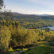
Scenic viewpoint
10.5 km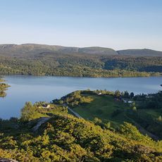
Scenic viewpoint
10.7 km
Skorsfossen
10.3 km
Hellebostfossen
10.3 km
Harefossen
8.2 km
Sørebøfossen
7.2 kmReviews
Visited this place? Tap the stars to rate it and share your experience / photos with the community! Try now! You can cancel it anytime.
Discover hidden gems everywhere you go!
From secret cafés to breathtaking viewpoints, skip the crowded tourist spots and find places that match your style. Our app makes it easy with voice search, smart filtering, route optimization, and insider tips from travelers worldwide. Download now for the complete mobile experience.

A unique approach to discovering new places❞
— Le Figaro
All the places worth exploring❞
— France Info
A tailor-made excursion in just a few clicks❞
— 20 Minutes