
Opatów, Greater Poland Voivodeship, village in Greater Poland, Poland
Location: Gmina Łęka Opatowska
GPS coordinates: 51.21390,18.14580
Latest update: April 24, 2025 08:29
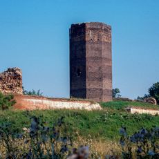
Podbolesławiec Castle
3.1 km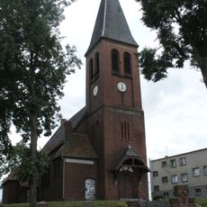
Podzamcze
9.5 km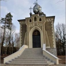
Saint George Orthodox church in Chróścin
7 km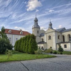
Holy Spirit church in Wieruszów
8.9 km
Holy Trinity church in Byczyna
11.9 km
Saint Nicholas church in Byczyna
12 km
Saint Lawrence and Saint Andrew church
11.5 km
Schloss Kostau
6.1 km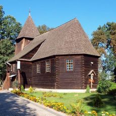
Sacred Heart and Saint Hedwig church in Komorzno
11.7 km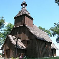
Saint Hyacinth church in Miechowa
9.1 km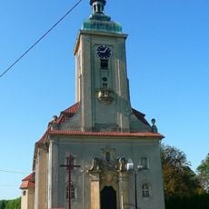
Saint Augustinus church in Kostów
5.4 km
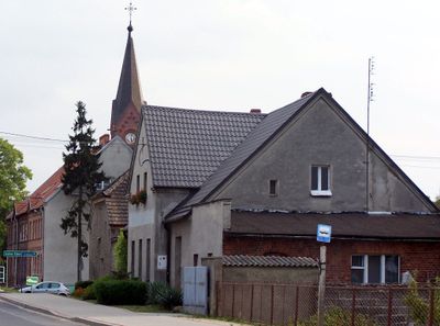
Saint Florian church in Opatów, Greater Poland Voivodeship
157 m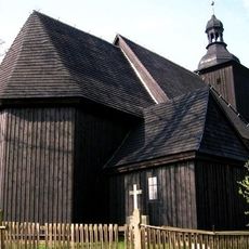
Saint John the Baptist church in Gołkowice
9.1 km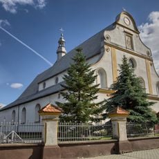
Holy Trinity church in Bolesławiec
3.5 km
Saint Martin church in Donaborów
8.5 km
Saint Stanislaus Kostka church in Ciecierzyn
8.5 km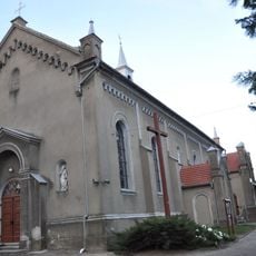
Saint Giles church in Siemianice
3.8 km
Saint Hedwig church in Olszowa
11.4 km
Saint Catherine church in Świba
10.8 km
Schloss Groß-Rauden
6.1 km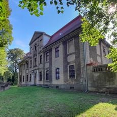
Pałac w Gołkowicach
9.4 km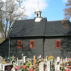
Saint Roch church in Wieruszów
8.1 km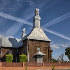
Saint Bartholomew church in Żdżary
7.9 km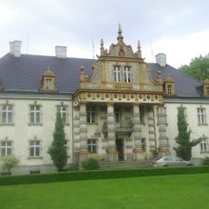
Palace in Siemianice
3.7 km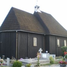
Saint Margaret chapel in Piaski
3.7 km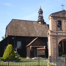
Saint Nicholas church in Chróścin
5.2 km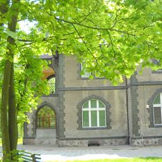
Palace in Chróścin
6.6 km
Palace in Mroczeń
11.3 kmReviews
Visited this place? Tap the stars to rate it and share your experience / photos with the community! Try now! You can cancel it anytime.
Discover hidden gems everywhere you go!
From secret cafés to breathtaking viewpoints, skip the crowded tourist spots and find places that match your style. Our app makes it easy with voice search, smart filtering, route optimization, and insider tips from travelers worldwide. Download now for the complete mobile experience.

A unique approach to discovering new places❞
— Le Figaro
All the places worth exploring❞
— France Info
A tailor-made excursion in just a few clicks❞
— 20 Minutes