
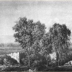
Układ przestrzenny miejscowości
Location: Jasionówka, Mońki County
Inception: 16 century
GPS coordinates: 53.39492,23.03625
Latest update: May 21, 2025 21:07
Tapestries in Poland
11.9 km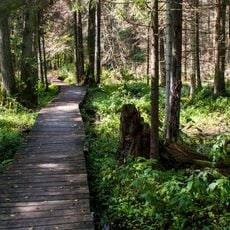
Nature reserve Krzemianka
13.8 km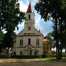
Church of St. John the Apostle and Evangelist
12.2 km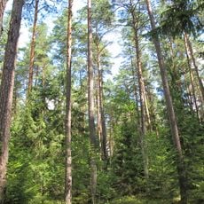
Nature reserve Wielki Las
6.9 km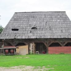
Lamus in Knyszyn
12.2 km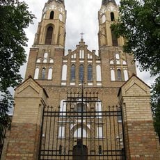
Invention and Exaltation of the Holy Cross church in Korycin
6.5 km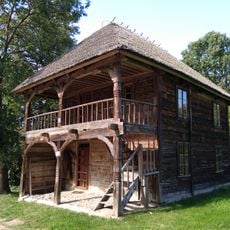
Store in Kalinówka Kościelna
7.3 km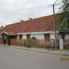
6 Kościelna Street in Knyszyn
12.2 km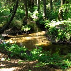
Nature reserve Kulikówka
15.6 km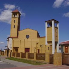
Kościół św. Brata Alberta Chmielowskiego w Mońkach
15.1 km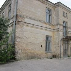
Hospital in Knyszyn
11.3 km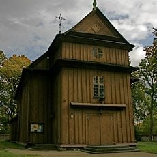
Saint Anne church in Kalinówka Kościelna
7.3 km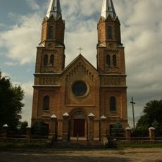
Church of Saint George in Janów
15.1 km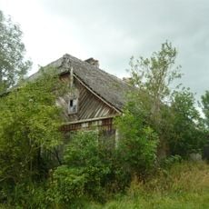
Dwór w Sikorach
10.3 km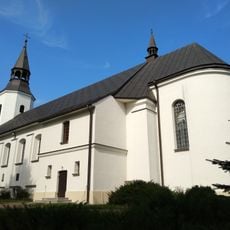
Church of the Holy Trinity in Jasionówka
112 m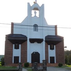
Sacred Heart of Jesus church in Jaświły
11.7 km
Exterior of the Our Lady of Częstochowa church in Mońki
16.3 km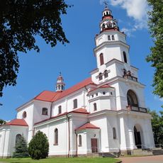
Our Lady of Częstochowa church Mońki
16.4 km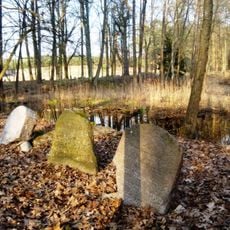
Jewish cemetery in Knyszyn
11.5 km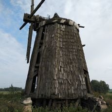
Dutch mill in Białousy
13.2 km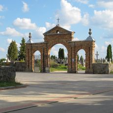
Cmentarz rzym.-kat. w Janowie
14.7 km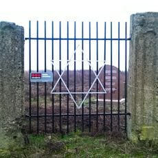
Cmentarz żydowski w Janowie Sokólskim
15.9 km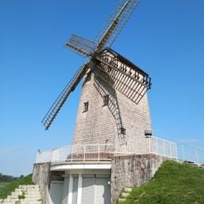
Windmill in Korycin
9.8 km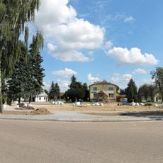
Rozplanowanie przestrzenne
6.6 km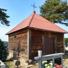
Cemetery chapel at the catholic cemetery in Jasionówka
649 m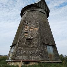
Dutch mill in Szaciłówka
5.9 km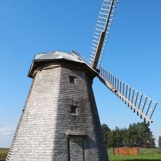
Dutch mill in Aulakowszczyzna
9.7 km
Catholic cemetery in Janów
14.7 kmReviews
Visited this place? Tap the stars to rate it and share your experience / photos with the community! Try now! You can cancel it anytime.
Discover hidden gems everywhere you go!
From secret cafés to breathtaking viewpoints, skip the crowded tourist spots and find places that match your style. Our app makes it easy with voice search, smart filtering, route optimization, and insider tips from travelers worldwide. Download now for the complete mobile experience.

A unique approach to discovering new places❞
— Le Figaro
All the places worth exploring❞
— France Info
A tailor-made excursion in just a few clicks❞
— 20 Minutes