
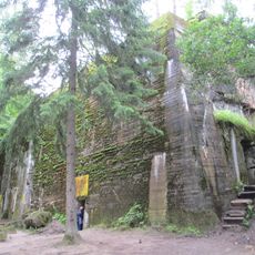
Wiadukt drogowy II
Location: Czerniki, Warmian-Masurian Voivodeship
GPS coordinates: 54.08133,21.47356
Latest update: October 13, 2025 06:10
Wolf's Lair
1.3 km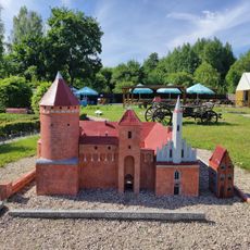
Park Miniatur
2.6 km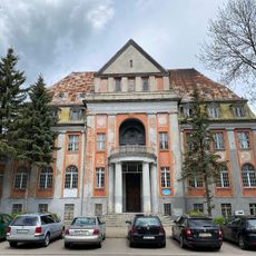
Consulate of Santa Claus
6.1 km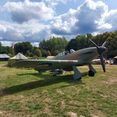
Wilcze Lotnisko
388 m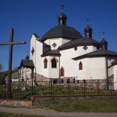
Church of St. Basil the Great in Kętrzyn
6.2 km
Muzeum Ziemi Mazurskiej w Owczarni
5.5 km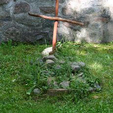
Cmentarz przykościelny w Czernikach
2.2 km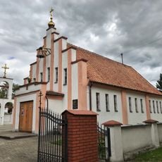
Orthodox church of the Nativity of Our Lady in Kętrzyn
5.9 km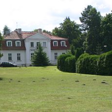
Palace in Gierłoż
793 m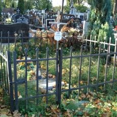
Cmentarz ewangelicko-augsburski, ob. komunalny
5.9 km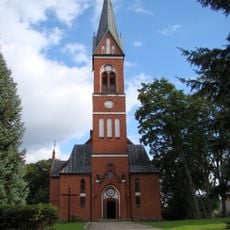
Saint Stanislaus Kostka church in Karolewo
3.5 km
Saint John the Evangelist church in Czerniki
2.2 km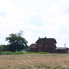
Budynek dworca kolejowego
3.2 km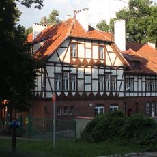
2 Kościuszki Street in Kętrzyn
6.4 km
Palace in Wopławki
4 km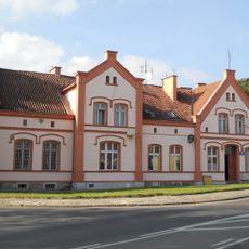
5 Pocztowa Street in Kętrzyn
6.2 km
Budynek produkcyjny
6.4 km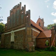
Zespół kościoła św. Jana w Czernikach
2.2 km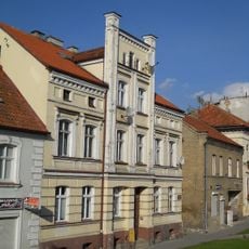
23 Traugutta Street in Kętrzyn
6.3 km
27 Traugutta Street in Kętrzyn
6.2 km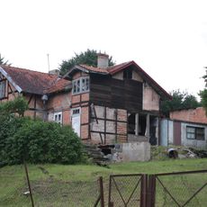
Dworek myśliwski, ob. dom nr 1, szachulcowy
3.4 km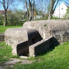
Schron obrony przeciwlotniczej II
5.8 km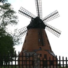
Windmill in Stara Różanka
5.7 km
1 Dworcowa Street in Kętrzyn
6.2 km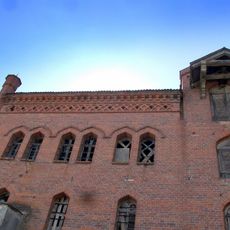
Spichrz
4 km
Szkoła
6.2 km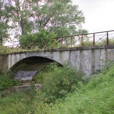
Wiadukt drogowy I
2 km
Kotłownia
6.4 kmReviews
Visited this place? Tap the stars to rate it and share your experience / photos with the community! Try now! You can cancel it anytime.
Discover hidden gems everywhere you go!
From secret cafés to breathtaking viewpoints, skip the crowded tourist spots and find places that match your style. Our app makes it easy with voice search, smart filtering, route optimization, and insider tips from travelers worldwide. Download now for the complete mobile experience.

A unique approach to discovering new places❞
— Le Figaro
All the places worth exploring❞
— France Info
A tailor-made excursion in just a few clicks❞
— 20 Minutes