
Przepust wodny nad rz. Radziejką
Location: Radzieje
Inception: 1907
Part of: Zespół dworca
GPS coordinates: 54.13125,21.58044
Latest update: June 19, 2025 02:40
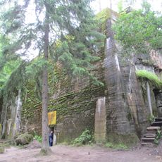
Wolf's Lair
8.1 km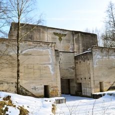
Masurian Canal
8.7 km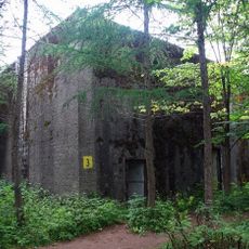
Kwatera Naczelnego Dowództwa Wojsk Lądowych
7.7 km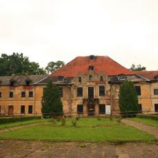
Sztynort Palace
6.8 km
Mamerki Bunkers Museum
7.2 km
Park Miniatur
7.1 km
Wysoki Ostrów
4.4 km
Lower lock Leśniewo
8.6 km
Dobskie Lake
4.9 km
Wilcze Lotnisko
9.2 km
Przystań Rajcocha
7.2 km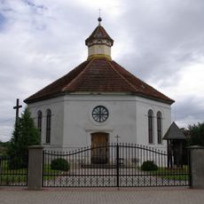
Christ the King church in Radzieje
421 m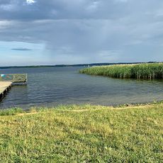
Plaża Sołecka w Radziejach
2.6 km
Park
7 km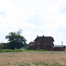
Budynek dworca kolejowego
6.4 km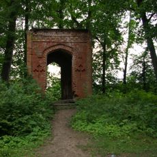
Kaplica w Sztynorcie
6.9 km
Granary in Sztynort
6.8 km
Pawilon (herbaciarnia)
7.1 km
Obora I
6.8 km
Oficyna II
6.8 km
Palace and folwark complex in Sztynort
6.8 km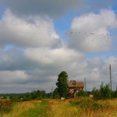
Zespół dworca
232 m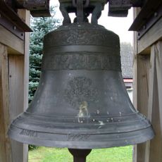
Dzwonnica
437 m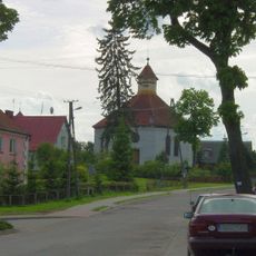
Zespół kościoła ewangelickiego, ob. rzym.-kat. Chrystusa Króla
408 m
Manor in Solanka
5.8 km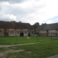
Obora II
6.9 km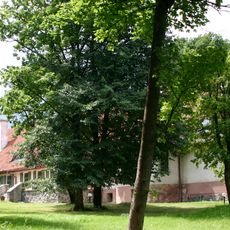
Dwór, ok.1911, l. 80.XX
5.8 km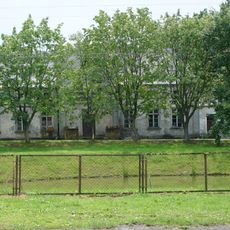
Dwór w Kątach
6.9 kmReviews
Visited this place? Tap the stars to rate it and share your experience / photos with the community! Try now! You can cancel it anytime.
Discover hidden gems everywhere you go!
From secret cafés to breathtaking viewpoints, skip the crowded tourist spots and find places that match your style. Our app makes it easy with voice search, smart filtering, route optimization, and insider tips from travelers worldwide. Download now for the complete mobile experience.

A unique approach to discovering new places❞
— Le Figaro
All the places worth exploring❞
— France Info
A tailor-made excursion in just a few clicks❞
— 20 Minutes