
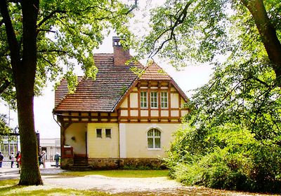
Dom zarządcy, house in Dłoń, Greater Poland Voivodeship, Poland
Location: Dłoń, Greater Poland Voivodeship
Inception: 19 century
Part of: Zespół pałacowo - folwarczny w Dłoniu
GPS coordinates: 51.69347,17.07468
Latest update: March 4, 2025 12:19
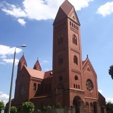
Saint Elisabeth church in Jutrosin
8 km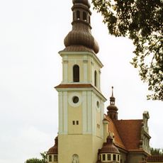
Sacred Heart church in Smolice
7 km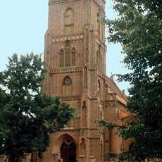
Kościół św. Jadwigi w Pępowie
8 km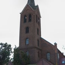
Former protestant church in Jutrosin
8 km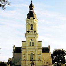
Kościół Wszystkich Świętych w Golejewku
8.7 km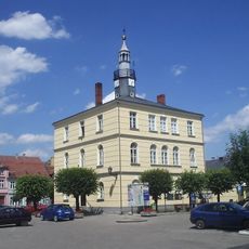
Jutrosin town hall
7.9 km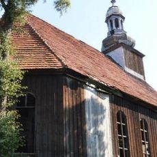
Mount Tabor former evangelical church in Miejska Górka
8.9 km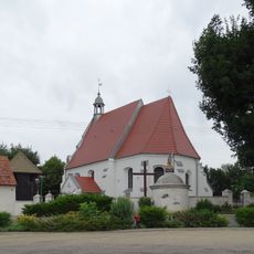
Saint Michael Archangel church in Konary
4.8 km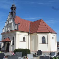
Saint James the Great church in Sobiałkowo
6.4 km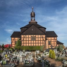
Holy Cross church in Jutrosin
8.3 km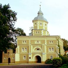
Wieża-brama pałacu w Golejewku
8.9 km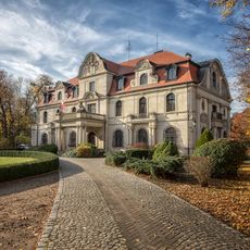
Palace in Smolice
7 km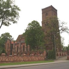
Church of St. Hedwig in Pępowo
8 km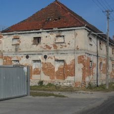
Granary in Krzekotowice
6 km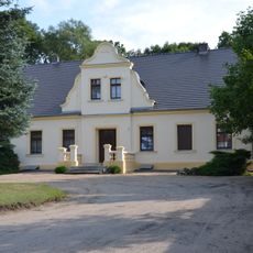
Presbytery of All Saints church in Golejewko
8.9 km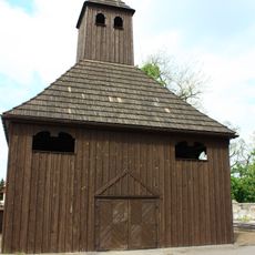
Dzwonnica w Jutrosiniu
8.3 km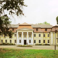
Palace in Dłoń
280 m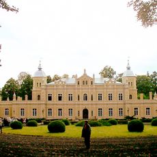
Pałac w Golejewku
9 km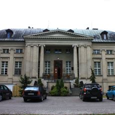
Pałac, XVII (?)
8.5 km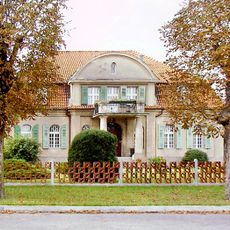
Plebania w Smolicach
6.9 km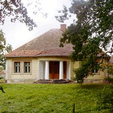
Domek ogrodnika
233 m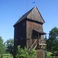
Post mill in Pępowo
8 km
Pałac w Gębicach
7.3 km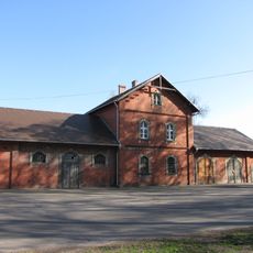
Folwark in Smolice
6.7 km
6 Nadstawie Street in Pępowo
8.2 km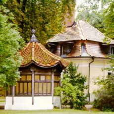
Pawilon chiński
254 m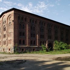
Spichrz
8.7 km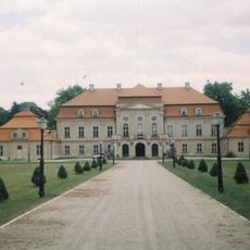
Pałac, Parkowa 5 w Pępowie
8.7 kmReviews
Visited this place? Tap the stars to rate it and share your experience / photos with the community! Try now! You can cancel it anytime.
Discover hidden gems everywhere you go!
From secret cafés to breathtaking viewpoints, skip the crowded tourist spots and find places that match your style. Our app makes it easy with voice search, smart filtering, route optimization, and insider tips from travelers worldwide. Download now for the complete mobile experience.

A unique approach to discovering new places❞
— Le Figaro
All the places worth exploring❞
— France Info
A tailor-made excursion in just a few clicks❞
— 20 Minutes