
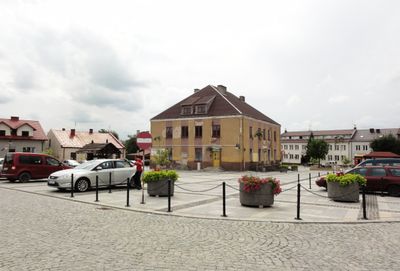
Urban layout of Szydłów, zabytkowy układ miasta w Polsce
Location: Szydłów
Inception: 14 century
GPS coordinates: 50.59100,21.00158
Latest update: April 18, 2025 13:12
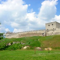
Szydłów Castle
191 m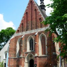
Saint Ladislaus church in Szydłów
40 m
Szydłów Synagogue
119 m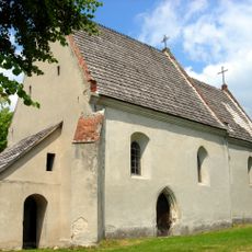
All Saints church in Szydłów
220 m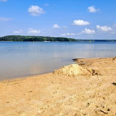
Plaża Chańcza
6.4 km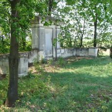
Pomnik Armii Czerwonej w Mokrem
4.1 km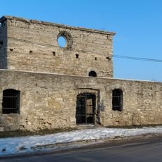
Kościół św. Ducha w Szydłowie
196 m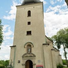
Saint James church in Kotuszów
5 km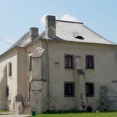
Muzeum Regionalne w Szydłowie
191 m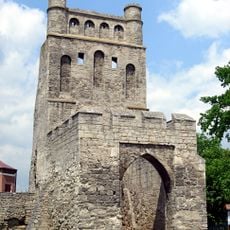
Kraków Gate in Szydłów
113 m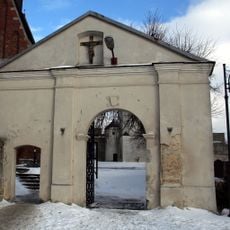
Brama na cmentarz kościelny w Szydłowie
110 m
Grabki Duże Palace
3.3 km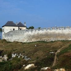
Mury obronne
167 m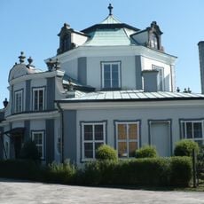
Pałac
3.3 km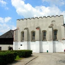
Synagoga, obecnie dom kultury, lata 1970-1980
181 m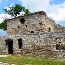
Ruiny kościoła szpitalnego Św. Ducha, lata 1650-1653
214 m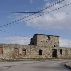
Zespół ruin szpitala Św. Ducha
205 m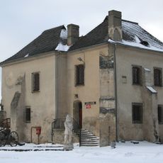
Skarbczyk
173 m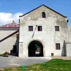
Castle Gate
102 m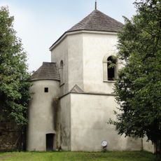
Bell tower of Saint Ladislaus church in Szydłów
164 m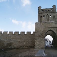
City walls with Krakowska Gate in Szydłow
125 m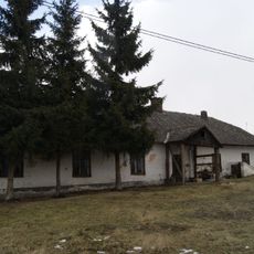
Zagroda, drewniana
449 m
Chałupa
442 m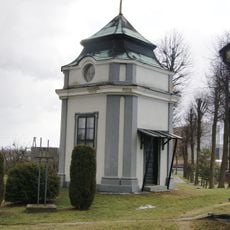
Pawilon I
3.3 km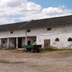
Spichlerz
6.6 km
Ruiny szpitala
211 m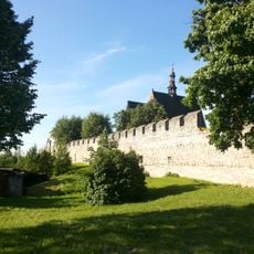
City walls in Szydłów
46 m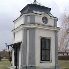
Pawilon II
3.3 kmReviews
Visited this place? Tap the stars to rate it and share your experience / photos with the community! Try now! You can cancel it anytime.
Discover hidden gems everywhere you go!
From secret cafés to breathtaking viewpoints, skip the crowded tourist spots and find places that match your style. Our app makes it easy with voice search, smart filtering, route optimization, and insider tips from travelers worldwide. Download now for the complete mobile experience.

A unique approach to discovering new places❞
— Le Figaro
All the places worth exploring❞
— France Info
A tailor-made excursion in just a few clicks❞
— 20 Minutes