
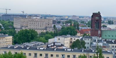
Układ urbanistyczny placu Gabriela Narutowicza
Układ urbanistyczny placu Gabriela Narutowicza, układ urbanistyczny w Warszawie
Location: Ochota
Inception: 1923
GPS coordinates: 52.21872,20.98440
Latest update: October 1, 2025 21:00
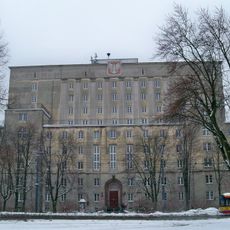
Akademik Dormitory in Warsaw
132 m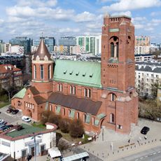
Church of the Immaculate Conception of the Blessed Virgin Mary, Warsaw
126 m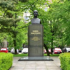
Gabriel Narutowicz Monument in Warsaw
54 m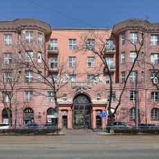
68 Filtrowa Street in Warsaw
134 m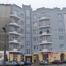
40a Grójecka Street in Warsaw
153 m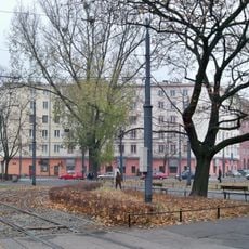
70 Filtrowa Street in Warsaw
130 m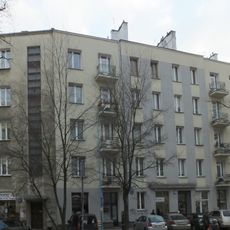
3 Słupecka Street in Warsaw
161 m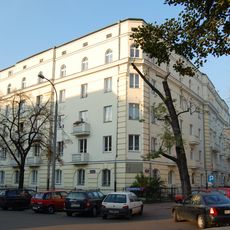
4 Mochnackiego Street in Warsaw
152 m
83 Filtrowa Street in Warsaw
120 m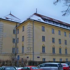
5 Uniwersytecka Street in Warsaw
123 m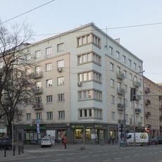
34 Grójecka Street in Warsaw
163 m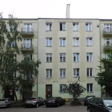
5 Słupecka Street in Warsaw
177 m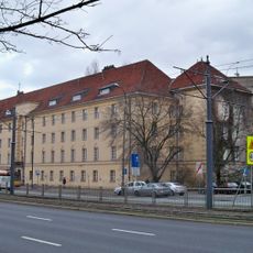
Dom studencki Bratniak
158 m
Dom studencki Muszelka
172 m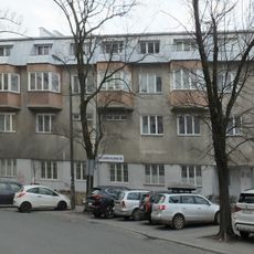
2 Barska Street in Warsaw
145 m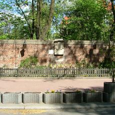
4 Barska Street in Warsaw - the wall
181 m
36 Grójecka Street in Warsaw
133 m
Rectory of the parish of St. James in Warsaw
121 m
81 Filtrowa Street in Warsaw
171 m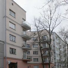
3 Barska Street in Warsaw
155 m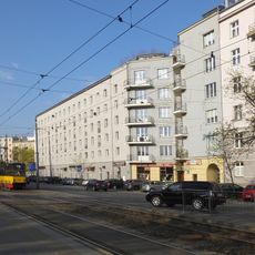
42 Grójecka Street in Warsaw
183 m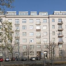
40 Grójecka Street in Warsaw
118 m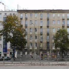
Dom przy ulicy Grójeckiej 31A/33
182 m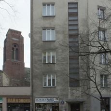
Dom przy ulicy Słupeckiej 1
153 m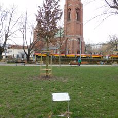
Oak Gabriel
26 m
35 Grójecka Street in Warsaw
138 m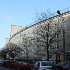
Dom studencki Tulipan
150 m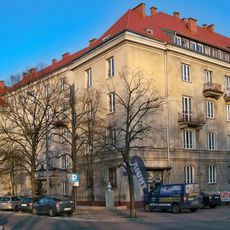
3 Akademicka Street in Warsaw
97 mVisited this place? Tap the stars to rate it and share your experience / photos with the community! Try now! You can cancel it anytime.
Discover hidden gems everywhere you go!
From secret cafés to breathtaking viewpoints, skip the crowded tourist spots and find places that match your style. Our app makes it easy with voice search, smart filtering, route optimization, and insider tips from travelers worldwide. Download now for the complete mobile experience.

A unique approach to discovering new places❞
— Le Figaro
All the places worth exploring❞
— France Info
A tailor-made excursion in just a few clicks❞
— 20 Minutes