Enable Location

We need your location to show you interesting places around you

Discover nearby places

Find interesting locations and hidden gems around you

Precise directions

Get accurate directions and distances to places

Your location is never shared with other users. It's only used when you tap the location button.

Domozhirovskoye rural settlement

Log in to your account

Start exploring — it's free

Trusted by 62,080 travelers worldwide

Continue with Google
Continue with Apple
or

We will send you a code to connect

By continuing, you accept our Terms and Conditions and our Privacy Policy

Check your inbox

We've sent a pincode in your inbox. Please enter the code below.

Domozhirovskoye rural settlement

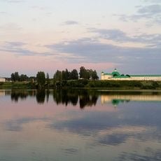
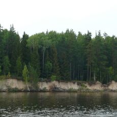
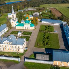
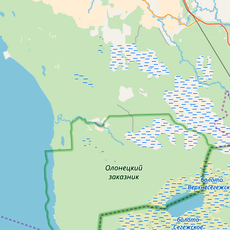
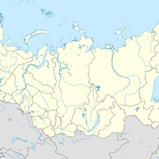
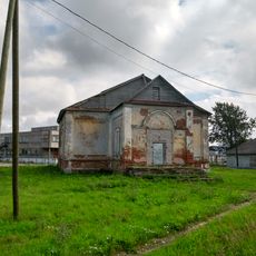
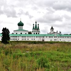
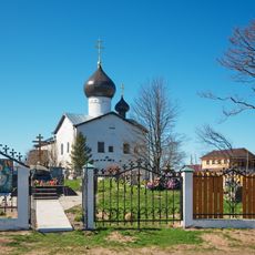
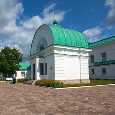
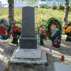
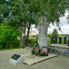
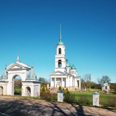
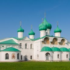
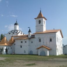
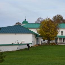
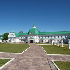
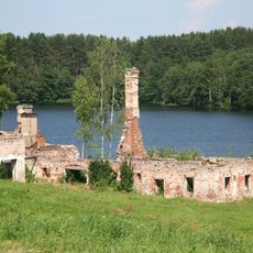
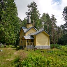
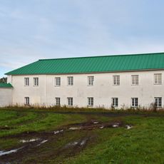
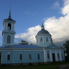
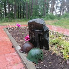
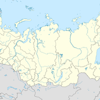
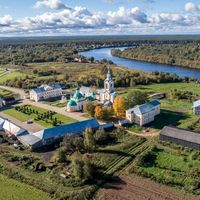
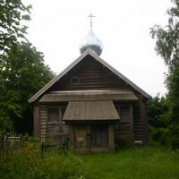
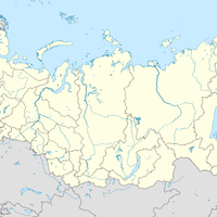
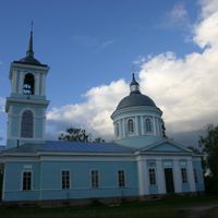
Domozhirovskoye rural settlement, human settlement in Lodeynopolsky District, Leningrad Oblast, Russia

The community of curious travelers

AroundUs brings together thousands of curated places, local tips, and hidden gems, enriched daily by 60,000 contributors worldwide.

Start exploring
Capital city
Domozhirovo
GPS coordinates
60.47139,33.09222
Latest update
March 15, 2025 14:52
Around this place
Alexander-Svirsky Monastery
Russian Federation

Alexander-Svirsky Monastery

36.4 km
Nizhnesvirsky Nature Reserve
Russian Federation

Nizhnesvirsky Nature Reserve

15.2 km
Vvedeno-Oyatsky female monastery
Russian Federation

Vvedeno-Oyatsky female monastery

2.8 km
Storozhenskiy Light
Russian Federation

Storozhenskiy Light

26.4 km
Nikolo-Storozhensky monastery
Russian Federation

Nikolo-Storozhensky monastery

26.6 km
Олонецкий заказник
Russian Federation

Олонецкий заказник

31.6 km
Zaostrovye
Russian Federation

Zaostrovye

20.8 km
Введенская церковь (ж/д ст. Оять)
Russian Federation

Введенская церковь (ж/д ст. Оять)

2.8 km
Church of Saint Nicholas (Ponomaryovo, Leningrad Oblast)
Russian Federation

Church of Saint Nicholas (Ponomaryovo, Leningrad Oblast)

1.6 km
Церковь Спаса Преображения (Загубье)
Russian Federation

Церковь Спаса Преображения (Загубье)

18.1 km
Church of the Resurrection, Megrega
Russian Federation

Church of the Resurrection, Megrega

51.1 km
Северная стена (Старая Слобода)
Russian Federation

Северная стена (Старая Слобода)

36.5 km
Ограда с воротами (Сторожно)
Russian Federation

Ограда с воротами (Сторожно)

26.6 km
Holy Trinity Chapel (Alexandro-Svirsky Monastery)
Russian Federation

Holy Trinity Chapel (Alexandro-Svirsky Monastery)

36.3 km
Братская могила советских воинов, погибших в борьбе с фашистами (Старая Слобода)
Russian Federation

Братская могила советских воинов, погибших в борьбе с фашистами (Старая Слобода)

36.3 km
Mass grave in Megrega
Russian Federation

Mass grave in Megrega

51.2 km
Church of the Nativity of Christ (Nadkopanye)
Russian Federation

Church of the Nativity of Christ (Nadkopanye)

7.7 km
Churches of the Transfiguration and Saints Zachary and Elisabeth (Svirskoye)
Russian Federation

Churches of the Transfiguration and Saints Zachary and Elisabeth (Svirskoye)

36.3 km
Church of the Protection of the Theotokos with refectory (Alexandro-Svirsky Monastery)
Russian Federation

Church of the Protection of the Theotokos with refectory (Alexandro-Svirsky Monastery)

36.4 km
Северный хозяйственный корпус (Старая Слобода)
Russian Federation

Северный хозяйственный корпус (Старая Слобода)

36.3 km
Восточный келейный корпус со Святыми воротами и надвратной церковью святителя Николая (Старая Слобода)
Russian Federation

Восточный келейный корпус со Святыми воротами и надвратной церковью святителя Николая (Старая Слобода)

36.3 km
Kvass brewery and pump-house in Alexandro-Svirsky Monastery
Russian Federation

Kvass brewery and pump-house in Alexandro-Svirsky Monastery

36.4 km
Saints Florus and Laurus Church, Megrega
Russian Federation

Saints Florus and Laurus Church, Megrega

50.6 km
Восточный келейный корпус с вратами (Старая Слобода)
Russian Federation

Восточный келейный корпус с вратами (Старая Слобода)

36.5 km
Church of the Theotokos of the Sign in Turygino
Russian Federation

Church of the Theotokos of the Sign in Turygino

2.6 km
Колокольня с воротами (ж/д ст. Оять)
Russian Federation

Колокольня с воротами (ж/д ст. Оять)

2.8 km
Братская могила советских воинов, погибших в боях с фашистскими захватчиками (Самбатукса)
Russian Federation

Братская могила советских воинов, погибших в боях с фашистскими захватчиками (Самбатукса)

52.3 km
T-34-76 in Sambatuksa
Russian Federation

T-34-76 in Sambatuksa

52.3 km
Show the full map
« Domozhirovskoye rural settlement - human settlement in Lodeynopolsky District, Leningrad Oblast, Russia » is provided by Around Us (aroundus.com). Images and texts are derived from Wikimedia project under a Creative Commons license. You are allowed to copy, distribute, and modify copies of this page, under the conditions set by the license, as long as this note is clearly visible.

Discover hidden gems everywhere you go!

From secret cafés to breathtaking viewpoints, skip the crowded tourist spots and find places that match your style. Our app makes it easy with voice search, smart filtering, route optimization, and insider tips from travelers worldwide. Download now for the complete mobile experience.

Around Us App Screenshot

A unique approach to discovering new places

Le Figaro

All the places worth exploring

France Info

A tailor-made excursion in just a few clicks

20 Minutes

Around Us
Travel Guide & Maps
Download

Send to your phone

QR Code
1

Open the camera app on your mobile.

2

Point at the QR code with your camera. A notification will appear.

3

Tap the notification to open the link.