
Руя, human settlement in Voskresensky District, Nizhny Novgorod Oblast, Russia
Location: Воздвиженский сельсовет
GPS coordinates: 56.97028,45.60944
Latest update: June 25, 2025 02:14

Kitezh
35.7 km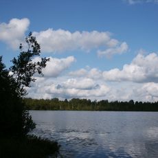
Lake Svetloyar
35.7 km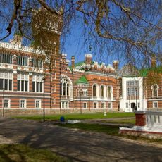
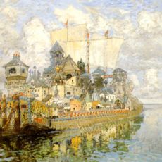
Sheremetev castle
86.9 km
Kerzhinski Nature Reserve
88 km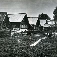
Komarovski skete
85.3 km
Levashovs estate in Galibikha
24.3 km
Керженский Благовещенский единоверческий скит
72.2 km
Սեմյոնովի պատմա-գեղարվեստական թանգարան
70.8 km
Holy Trinity Church, Kozmodemyansk
91 km
Троицкая церковь
86 km
Cathedral of the Ascension of Christ
71 km
Покровская церковь
82 km
Dormilion church
90.6 km
Рамешинский
65.2 km
Алешино (починок)
64.8 km
Александровский
90.8 km
Церковь Иоанна Предтечи (Коротни)
88.8 km
Nijegorodskoe Zavolje
83.4 km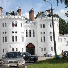
Фрагмент крепостной стены с западными воротами (Юрино)
86.8 km
Church of Michael the Archangel, Yurino
86.6 km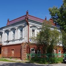
Losev house, Yurino
86.5 km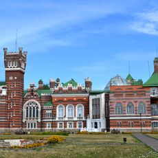
Главный дом (Юрино)
86.9 km
Жилой дом с торговыми помещениями (Копорулиха)
47 km
Ледник (Юрино)
86.9 km
Park of Sheremetev Castle, Yurino
87 km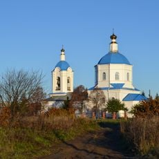
Церковь Рождества Пресвятой Богородицы (Сумки)
89.7 km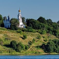
Церковь Пресвятой Троицы (Троицкий Посад)
91 km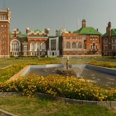
Фонтан (Юрино)
86.9 kmReviews
Visited this place? Tap the stars to rate it and share your experience / photos with the community! Try now! You can cancel it anytime.
Discover hidden gems everywhere you go!
From secret cafés to breathtaking viewpoints, skip the crowded tourist spots and find places that match your style. Our app makes it easy with voice search, smart filtering, route optimization, and insider tips from travelers worldwide. Download now for the complete mobile experience.

A unique approach to discovering new places❞
— Le Figaro
All the places worth exploring❞
— France Info
A tailor-made excursion in just a few clicks❞
— 20 Minutes