
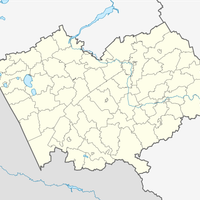
Каменське міське поселення, human settlement in Kamensky District, Altai Krai, Russia
Location: Kamensky District
Capital city: Kamen-na-Obi
GPS coordinates: 53.79194,81.34861
Latest update: March 8, 2025 05:52

Novosibirsk Reservoir
147 km
Novosibirsk Hydroelectric Station
158.7 km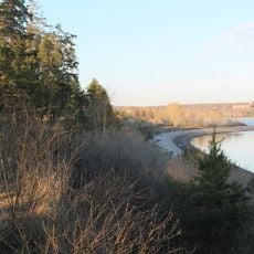
Berd Spit
157.7 km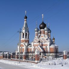
Transfiguration Cathedral, Berdsk
156.1 km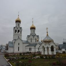
Church of the Archangel Michael, Novosibirsk
159 km
У моря Обского (парк)
157.2 km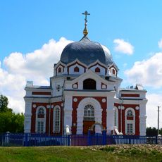
Intercession Church, Zavyalovo
106.5 km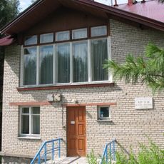
Museum of the History of SB RAS
161.9 km
Іскра (залізничний роз'їзд, Черепановський район)
141.6 km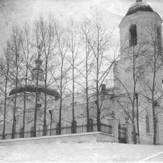
Сретенская церковь (Бердск)
156.5 km
Казарма 45 км
158.4 km
Родино
17.6 km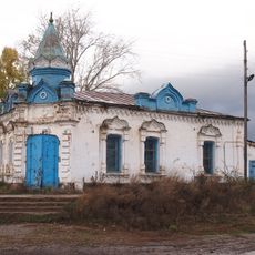
Merchantess Smirnova shop
76 km
Новоосиновский
79 km
Рямы
95.5 km
Залізнична платформа 52 км
157.6 km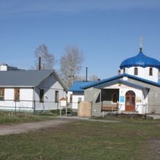
Church of the Annunciation, Novosibirsk
160.6 km
Здание представительства компании «Зингер» (Краснозёрское)
139.7 km
Зимарі (селище)
156.5 km
Шиловський (Калманський район)
160.5 km
Дальній (Ребріхинський район)
113.3 km
Центральный
123.7 km
Паново (селище, Ребріхинський район)
101.8 km
Podstepnovsky
96.7 km
Гоноховський
91.4 km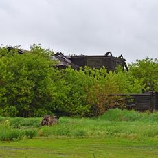
Ruins of wooden church, Lushnikovo
143.8 km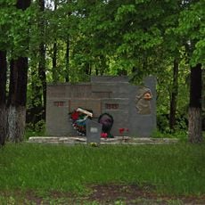
War memorial, Lushnikovo
144 km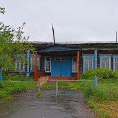
Parochial school, Lushnikovo
144 kmReviews
Visited this place? Tap the stars to rate it and share your experience / photos with the community! Try now! You can cancel it anytime.
Discover hidden gems everywhere you go!
From secret cafés to breathtaking viewpoints, skip the crowded tourist spots and find places that match your style. Our app makes it easy with voice search, smart filtering, route optimization, and insider tips from travelers worldwide. Download now for the complete mobile experience.

A unique approach to discovering new places❞
— Le Figaro
All the places worth exploring❞
— France Info
A tailor-made excursion in just a few clicks❞
— 20 Minutes