
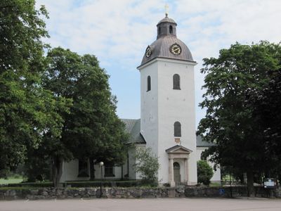
Alunda socken, historisk sogn i Uppland
Location: Östhammar Municipality
Location: Oland hundred
Elevation above the sea: 23 m
Part of: Uppland
GPS coordinates: 60.05972,18.06806
Latest update: June 1, 2025 03:20

Gimo Herrgård
14.5 km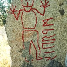
Krogsta runestone
3.3 km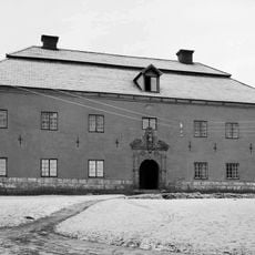
Årby
14.3 km
Hässelby gård
4.3 km
Vällen
15.1 km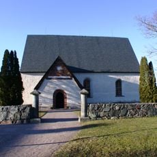
Ekeby Church
9.1 km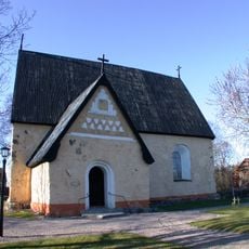
Bladåker Church
12.4 km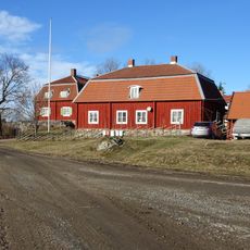
Ora säteri
5.5 km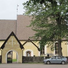
Stavby Church
7.9 km
Kydingeholm
4.6 km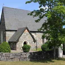
Morkarla Church
11 km
Oland Rural Municipality
880 m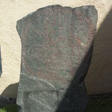
Uppland Runic Inscription 1012
13.8 km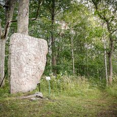
Uppland Runic Inscription 1132
14.7 km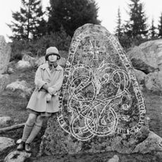
Uppland Runic Inscription 1006
15.9 km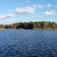
Svanhusskogen
13.8 km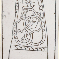
Uppland Runic Inscription 1131
3.3 km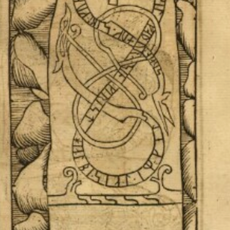
Uppland Runic Inscription 1122
7.9 km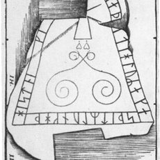
Uppland Runic Inscription 1000
16.1 km
Uppland Runic Inscription 1001
16.1 km
Uppland Runic Inscription 1038
11.4 km
Uppland Runic Inscription 1123
4.4 km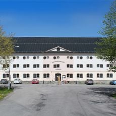
Knutmassomuseet
14.8 km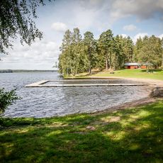
Public beach Gimobadet
14.8 km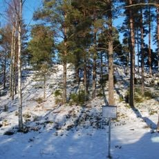
Salsta borg
16 km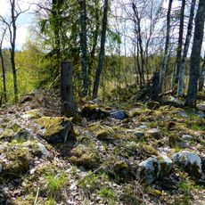
Rasbo 535:1
15.6 km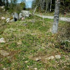
Rasbo 681
14.3 km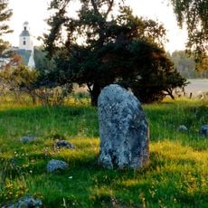
Rasbo 38:1
15.8 kmReviews
Visited this place? Tap the stars to rate it and share your experience / photos with the community! Try now! You can cancel it anytime.
Discover hidden gems everywhere you go!
From secret cafés to breathtaking viewpoints, skip the crowded tourist spots and find places that match your style. Our app makes it easy with voice search, smart filtering, route optimization, and insider tips from travelers worldwide. Download now for the complete mobile experience.

A unique approach to discovering new places❞
— Le Figaro
All the places worth exploring❞
— France Info
A tailor-made excursion in just a few clicks❞
— 20 Minutes