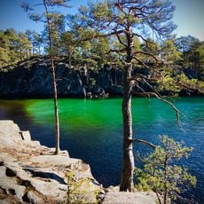
Hulta hagar, nature reserve in Västra Götaland, Sweden
Location: Karlsborg Municipality
Inception: October 14, 2009
GPS coordinates: 58.67791,14.49521
Latest update: November 17, 2025 08:05
Valekleven-Ombo öar
6.8 km
Bölets ängar
6.9 km
Granvik
6.3 km
Stora Fjället
4.4 km
Tutterskulle
5 km
Håketjärnarna
6.2 km
Jättestenarna
6.8 km
Undenäs 87:2
6.2 km
Undenäs 88:2
6.2 km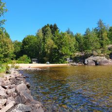
Granvik, public beach Vättern
6.1 km
Undenäs 87:3
6.2 km
Undenäs 88:1
6.2 km
Jättestenarna
6.8 km
Undenäs 72:3
7 km
Valekleven
6.3 km
Undenäs 87:1
6.2 km
Bocksjö kapell
6.3 km
Undenäs 2:1
3.6 km
Undenäs 26:1
1.3 km
Undenäs 90:1
6 km
Undenäs 99:3
5.2 km
Undenäs 99:2
5.2 km
Högsätet
487 m
Undenäs 99:1
5.2 km
Undenäs 90:2
6 km
Tingskullen
2.9 km
Grottebergets utsiktsplats
6.7 km
Scenic viewpoint
6.7 kmReviews
Visited this place? Tap the stars to rate it and share your experience / photos with the community! Try now! You can cancel it anytime.
Discover hidden gems everywhere you go!
From secret cafés to breathtaking viewpoints, skip the crowded tourist spots and find places that match your style. Our app makes it easy with voice search, smart filtering, route optimization, and insider tips from travelers worldwide. Download now for the complete mobile experience.

A unique approach to discovering new places❞
— Le Figaro
All the places worth exploring❞
— France Info
A tailor-made excursion in just a few clicks❞
— 20 Minutes