
Rättvik 179:1, monument in Rättvik Municipality, Sweden
Location: Rättvik Municipality
GPS coordinates: 60.85888,15.63628
Latest update: March 11, 2025 11:44
Carl Larsson-gården
24.4 km
Högbo sanatorium
26.8 km
Carl Larsson-gården
24.4 km
Sundborn Church
23.8 km
Stora Hyttnäs
24.4 km
Varpan
23.8 km
Svärdsjö Church
19.5 km
Envikens gamla kyrka
11.2 km
Sankta Annas kapell, parish of Stora Kopparberg
26.3 km
Bjursås Church
16.9 km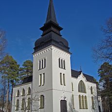
Grycksbo Church
21 km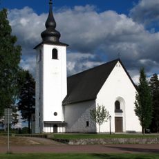
Enviken Church
9.2 km
Hökviken
24.9 km
Sågmyra Church
24.5 km
Dådrans kapell
10.6 km
Lugnets naturreservat
25.2 km
Hämmen
20.9 km
Enån
26.6 km
Bjursås Prästskog
16.8 km
Isalanäset
18.4 km
Svabensverks kapellag
22.2 km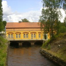
Sundborns kraftstation
24.4 km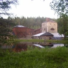
Ågs bruk
23.9 km
Hults bergsmansgård
22.6 km
Danielsgården
18.2 km
Sågmyra Hembygdsmuseum
24.7 km
Vintjärns gruvor
22.4 km
Stora fabriken
21.4 kmReviews
Visited this place? Tap the stars to rate it and share your experience / photos with the community! Try now! You can cancel it anytime.
Discover hidden gems everywhere you go!
From secret cafés to breathtaking viewpoints, skip the crowded tourist spots and find places that match your style. Our app makes it easy with voice search, smart filtering, route optimization, and insider tips from travelers worldwide. Download now for the complete mobile experience.

A unique approach to discovering new places❞
— Le Figaro
All the places worth exploring❞
— France Info
A tailor-made excursion in just a few clicks❞
— 20 Minutes