
Lima 502:1, ristning, medeltid/historisk tid i Dalarna
Location: Malung-Sälen Municipality
GPS coordinates: 60.86965,13.36944
Latest update: April 19, 2025 06:38
Hundfjället
40.6 km
Höljesbanan
44.4 km
Granberget
34.1 km
Tandövala
11.5 km
Fämtfallet
40.2 km
Dalby Church
31.9 km
Ransbysätern
27.6 km
Malung Church
29.9 km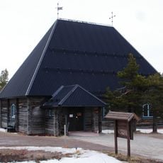
Sälens fjällkyrka
34.5 km
Hundfjällets poolarium
40.6 km
Venjan Church
30.5 km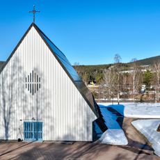
Norra Finnskoga Church
42.1 km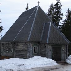
Gammelsätersfjällets fjällkyrka
25.5 km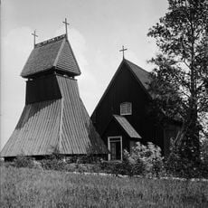
Evertsbergs kapell
43.6 km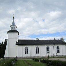
Södra Finnskoga Church
46.9 km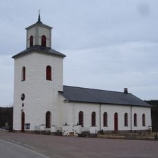
Transtrand Church
24.5 km
Kårebolssätern
51.9 km
Lybergsgnupen
16.8 km
Rörbäcksnäs Church
42.1 km
Nyskoga Church
51.8 km
Oxbergs kapell
51.6 km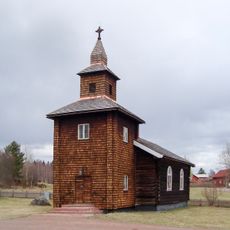
Åsens kapell, Dalarna
51.3 km
Hundfjället
34.9 km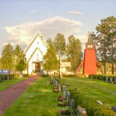
Siknäs Church
43.8 km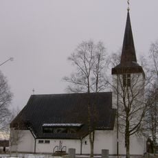
Yttermalungs kapell
40.8 km
Byråsen
27.5 km
Vasaloppsspåret Malung
29.2 km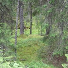
Eggarna
39 kmReviews
Visited this place? Tap the stars to rate it and share your experience / photos with the community! Try now! You can cancel it anytime.
Discover hidden gems everywhere you go!
From secret cafés to breathtaking viewpoints, skip the crowded tourist spots and find places that match your style. Our app makes it easy with voice search, smart filtering, route optimization, and insider tips from travelers worldwide. Download now for the complete mobile experience.

A unique approach to discovering new places❞
— Le Figaro
All the places worth exploring❞
— France Info
A tailor-made excursion in just a few clicks❞
— 20 Minutes