
Drängsered 16:1, röse i Halland
Location: Hylte Municipality
GPS coordinates: 57.01653,12.96597
Latest update: September 20, 2025 17:08

Hylte Municipality
18.8 km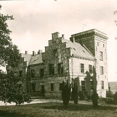
Hjuleberg
17.7 km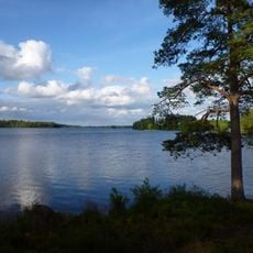
Fegen
21.2 km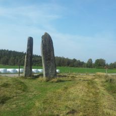
Hagbard's gallow
20.3 km
Högvadsån
19.2 km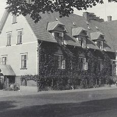
Sannarp
20.2 km
Höstena springs
19.3 km
Ätraforsdammen
16.9 km
Knobesholms säteri
18 km
Sumpafallen
20.3 km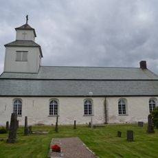
Drängsered Church
460 m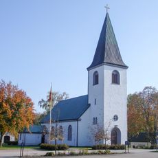
Hyltebruk Church
16.9 km
Sjönevadsborg
14.1 km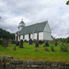
Gunnarps kyrka
14.8 km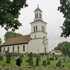
Gällared Church
12.2 km
Severin Nilssons ateljéstuga
18.5 km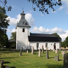
Askome Church
17.9 km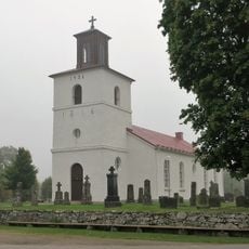
Krogsered Church
6.6 km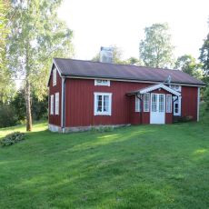
Lintalund
13 km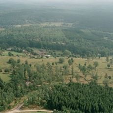
Yttra Berg
12.2 km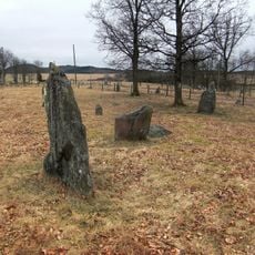
Gräberfeld von Särestad
20 km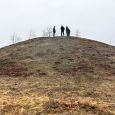
Hagbards kulle
19.9 km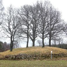
Boställets hällkista
21 km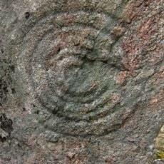
Hagbards stenar (galge)
20.3 km
Hagbards stenar (galge)
20.3 km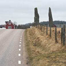
Hagbards stenar (galge)
20.3 km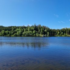
Musasjön, public beach
20.4 km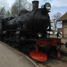
Landeryds Järnvägsmuseum
19 kmReviews
Visited this place? Tap the stars to rate it and share your experience / photos with the community! Try now! You can cancel it anytime.
Discover hidden gems everywhere you go!
From secret cafés to breathtaking viewpoints, skip the crowded tourist spots and find places that match your style. Our app makes it easy with voice search, smart filtering, route optimization, and insider tips from travelers worldwide. Download now for the complete mobile experience.

A unique approach to discovering new places❞
— Le Figaro
All the places worth exploring❞
— France Info
A tailor-made excursion in just a few clicks❞
— 20 Minutes