Lundhögen, Hügelgrab in Schweden
Location: Halmstad Municipality
GPS coordinates: 56.75077,12.64913
Latest update: November 15, 2025 12:23
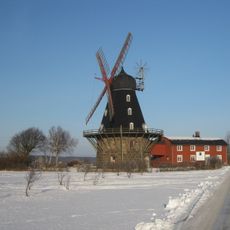
Särdals kvarn
1.2 km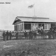
Särdals livräddningsstation
1.6 km
Enet
1.1 km
Särdal
1.7 km
Harplinge 22:1
392 m
Harplinge 23:2
1.3 km
Steninge 16:1
1.6 km
Steninge 16:2
1.6 km
Harplinge 18:1
656 m
Steninge 16:3
1.6 km
Höjesten
1.9 km
Harplinge 15:1
526 m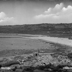
Steninge badstrand
2 km
Skallkroken Röda övre
1.9 km
Skallkroken Röda nedre
2 km
Lundhögen
21 m
Harplinge 4:2
2.1 km
Harplinge 20:1
77 m
Högarör
1.8 km
Högarör
1.8 km
Harplinge 28:2
2.1 km
Högarör
1.9 km
Vårhögen
826 m
Harplinge 28:1
2.1 km
Harplinge 4:1
2 km
Harplinge 26:1
1.8 km
Harplinge 23:1
1.2 km
Harplinge 16:1
933 mReviews
Visited this place? Tap the stars to rate it and share your experience / photos with the community! Try now! You can cancel it anytime.
Discover hidden gems everywhere you go!
From secret cafés to breathtaking viewpoints, skip the crowded tourist spots and find places that match your style. Our app makes it easy with voice search, smart filtering, route optimization, and insider tips from travelers worldwide. Download now for the complete mobile experience.

A unique approach to discovering new places❞
— Le Figaro
All the places worth exploring❞
— France Info
A tailor-made excursion in just a few clicks❞
— 20 Minutes