Västerbodarna, fäbod i Jämtland (Bodsjö 105:1)
Location: Bräcke Municipality
GPS coordinates: 62.82933,14.84034
Latest update: November 6, 2025 03:31
Näkten
10.7 km
Berge Virgin Forest Nature Reserve
11.6 km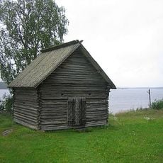
Boddas bönhus
5.7 km
Gäle Virgin Forest Nature Reserve
12.9 km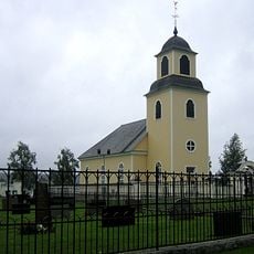
Bodsjö Church
5.7 km
Älgsjöberget
7.5 km
Dansbanan Granparken
8.3 km
Bodsjö 2:1
6.9 km
Bodsjö 2:2
6.9 km
Härbre och lada Norrböle
8.7 km
Bodsjö 176:1
9.1 km
Blindgubbsudden
14.4 km
Bodsjö 178:1
9 km
Bodsjö 55:1
8 km
Ol-Svens
14.3 km
Bodsjö 57:1
8.6 km
Bodsjö 177:1
9.1 km
Bodsjö 175:1
9.5 km
Kuråsvallen
11 km
Bodsjö 80:1
10.9 km
Gamla buvallen
12.5 km
Norrbodarna
14.3 km
Gammelbodarna
2.8 km
Nybovallen
7 km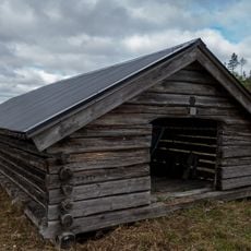
Böröns kyrkbåthus
14.3 km
Bodsjö 175:2
9.5 km
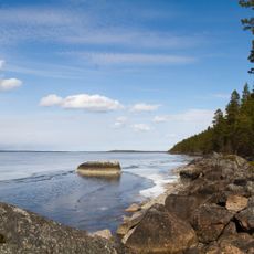
Pånstranden
2.5 km
Norra Pånstranden
2.5 kmReviews
Visited this place? Tap the stars to rate it and share your experience / photos with the community! Try now! You can cancel it anytime.
Discover hidden gems everywhere you go!
From secret cafés to breathtaking viewpoints, skip the crowded tourist spots and find places that match your style. Our app makes it easy with voice search, smart filtering, route optimization, and insider tips from travelers worldwide. Download now for the complete mobile experience.

A unique approach to discovering new places❞
— Le Figaro
All the places worth exploring❞
— France Info
A tailor-made excursion in just a few clicks❞
— 20 Minutes