
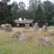
Villstad 243:1, röse i Småland
Location: Gislaved Municipality
GPS coordinates: 57.25056,13.43192
Latest update: March 3, 2025 04:15
Smålandsstenar stone circles
8.8 km
Fegen
18.7 km
Burseryds kyrka
10 km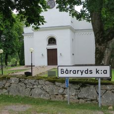
Båraryd Church
12.1 km
Bosebo Church
7 km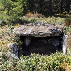
Steinkiste von Horshaga
2.1 km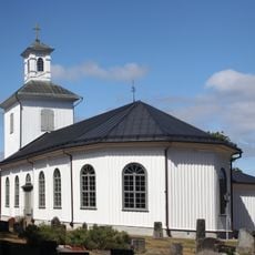
Sjötofta Church
14.3 km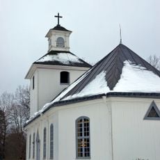
Håcksvik Church
18.9 km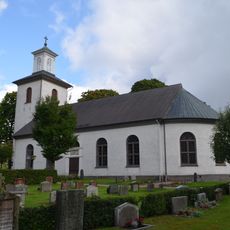
Kållerstad Church
19.5 km
Reftele municipality
13 km
Fegen (naturreservat, Västra Götalands län)
17.7 km
Annebergssjön
17.1 km
Draven
16.8 km
Sm 50 M
10 km
Anderstorps Stormosse
13.5 km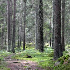
Hastaböke
19 km
Västbo tingslag
13 km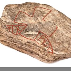
Smålands runinskrifter NOR2002;25
15.6 km
Fegen
18.1 km
Ölmestads museum
13.8 km
Bårebo missionshus
20.4 km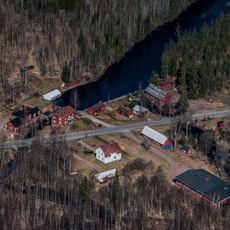
Hylténs metallvarufabrik
20.9 km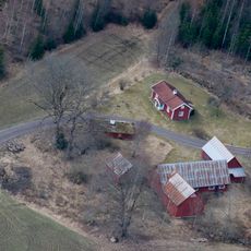
Hökabo soldattorp
18.7 km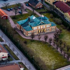
Västbo härads tingshus
12.8 km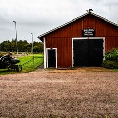
Stora Segerstads veterantraktormuseum
14.1 km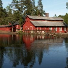
Hylténs industrimuseum
20.8 km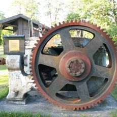
Gislaveds industrimuseum
8.5 km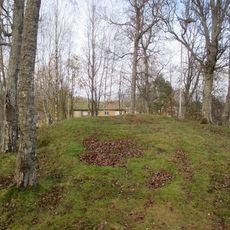
Bredaryd 4:1
20.4 kmReviews
Visited this place? Tap the stars to rate it and share your experience / photos with the community! Try now! You can cancel it anytime.
Discover hidden gems everywhere you go!
From secret cafés to breathtaking viewpoints, skip the crowded tourist spots and find places that match your style. Our app makes it easy with voice search, smart filtering, route optimization, and insider tips from travelers worldwide. Download now for the complete mobile experience.

A unique approach to discovering new places❞
— Le Figaro
All the places worth exploring❞
— France Info
A tailor-made excursion in just a few clicks❞
— 20 Minutes