Skepparhällan, stensättning i Jämtland (Revsund 15:1)
Location: Bräcke Municipality
GPS coordinates: 62.89551,15.20564
Latest update: November 21, 2025 14:41

Revsund lake
5.5 km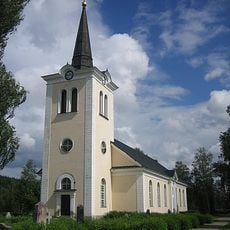
Revsunds kyrka
4.1 km
Mellgårdsbackarnas naturreservat
5.3 km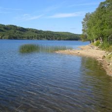
Revsunds landskommun
4.5 km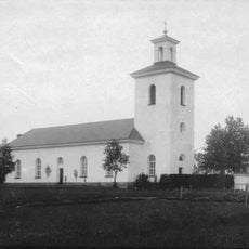
Sundsjö Church
8.8 km
Rutfjällets naturreservat
12.3 km
Blektjärn
10.1 km
Tunsved
9.2 km
Sundsjö 8:1
8.9 km
Sundsjö 8:2
8.9 km
Högmansbodarna
12.4 km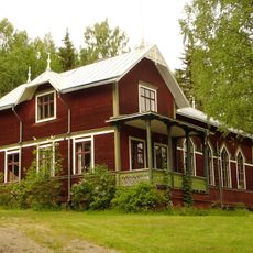
Tavnäs föreningshus
9.2 km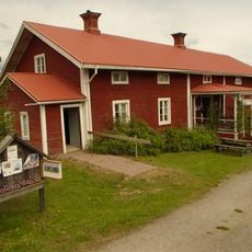
Revsunds hembygdsgård
2.5 km
Blindgubbsudden
6.3 km
Bodsjö 176:1
12.2 km
Blindgubbsudden
6.3 km
Sundsjö 86:1
9.7 km
Bodsjö 57:1
12.1 km
Revsund 214:1
5 km
Långmyrbodarna
10.7 km
Revsund 222:1
4.4 km
Binnkälens fäbodar
8.5 km
Storbergsbodvallen
7.4 km
Axel Olsbodarna
5.5 km
Gamla buvallen
8.6 km
Revsund 66:1
4.2 km
Bodsjö 175:2
12.3 km
Bodsjö 175:1
12.2 kmReviews
Visited this place? Tap the stars to rate it and share your experience / photos with the community! Try now! You can cancel it anytime.
Discover hidden gems everywhere you go!
From secret cafés to breathtaking viewpoints, skip the crowded tourist spots and find places that match your style. Our app makes it easy with voice search, smart filtering, route optimization, and insider tips from travelers worldwide. Download now for the complete mobile experience.

A unique approach to discovering new places❞
— Le Figaro
All the places worth exploring❞
— France Info
A tailor-made excursion in just a few clicks❞
— 20 Minutes