
Ås 66:2, Hügelgrab in Schweden
Location: Gislaved Municipality
GPS coordinates: 57.00689,13.70228
Latest update: April 6, 2025 14:26
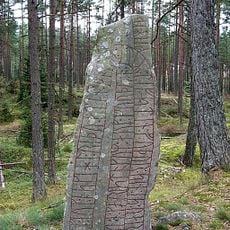
Smålands runinskrifter 52
18.8 km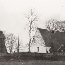
Vittaryd Church
14.5 km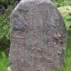
Småland Runic Inscription 48
18.1 km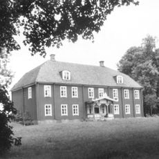
Dannäs säteri
10.1 km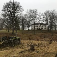
Åminne herrgård
17.9 km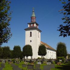
Bolmsö Church
1.3 km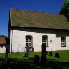
Dörarp Church
18.6 km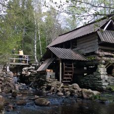
Brunnsbacka sawmill
10.3 km
Schedingsnäs säteri
18.7 km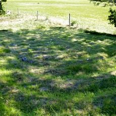
Labyrinten i Vittaryd
14.1 km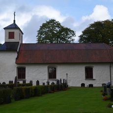
Dannäs Church
10.7 km
Torskinge Church
13.5 km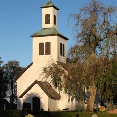
Odensjö Church
17.1 km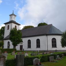
Kållerstad Church
12.2 km
Draven
17 km
Åminne
18 km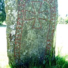
Smålands Runestone 31
19.1 km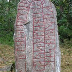
Sm 29
18 km
Hastaböke
16.1 km
Sm 51, Forsheda kyrkogård
18.9 km
Ölmestads museum
19.1 km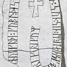
Smålands runinskrifter 46
14.3 km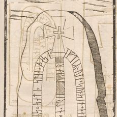
Sm 48, Torp
18.1 km
Hökabo soldattorp
13.2 km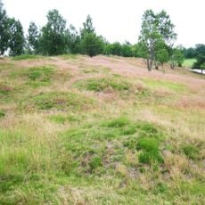
Dörarp 9:1
19.1 km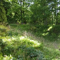
Bolmsö 17:1
4.5 km
Stora Segerstads veterantraktormuseum
17.6 km
Chalanderska museet
11.8 kmReviews
Visited this place? Tap the stars to rate it and share your experience / photos with the community! Try now! You can cancel it anytime.
Discover hidden gems everywhere you go!
From secret cafés to breathtaking viewpoints, skip the crowded tourist spots and find places that match your style. Our app makes it easy with voice search, smart filtering, route optimization, and insider tips from travelers worldwide. Download now for the complete mobile experience.

A unique approach to discovering new places❞
— Le Figaro
All the places worth exploring❞
— France Info
A tailor-made excursion in just a few clicks❞
— 20 Minutes