Tännäs 166:1, Hügelgrab in Schweden
Location: Härjedalen Municipality
GPS coordinates: 62.61651,12.47842
Latest update: November 15, 2025 14:31

Funäsdalsberget
7.3 km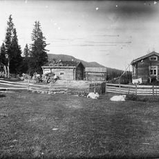
Vivallen
5.3 km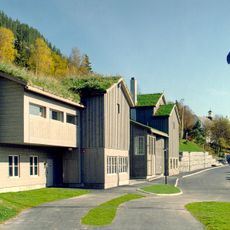
Härjedalens fjällmuseum
8.2 km
Ormruet
5.9 km
Tännäs 28:1
7.4 km
Tännäs 12:1
5.9 km
Tännäs 27:1
7.4 km
Tännäs 11:2
5.9 km
Tännäs 166:2
26 m
Tännäs 16:1
5.6 km
Tännäs 154:1
7.3 km
Tännäs 24:1
3.8 km
Tännäs 24:2
3.8 km
Tännäs 24:3
3.8 km
Tännäs 23:2
6 km
Tännäs 23:1
6 km
Tännäs 28:2
7.4 km
Tännäs 33:1
8 km
Tännäs 23:3
6 km
Tännäs 161:1
1.6 km
Tännäs 165:1
121 m
Tännäs 165:2
93 m
Tännäs 13:1
5.7 km
Tännäs 166:3
49 m
Tännäs 168:1
191 m
Skansen
8 km
Tännäs 11:1
5.8 km
Funäsdalen Lopme Laante
7.1 kmReviews
Visited this place? Tap the stars to rate it and share your experience / photos with the community! Try now! You can cancel it anytime.
Discover hidden gems everywhere you go!
From secret cafés to breathtaking viewpoints, skip the crowded tourist spots and find places that match your style. Our app makes it easy with voice search, smart filtering, route optimization, and insider tips from travelers worldwide. Download now for the complete mobile experience.

A unique approach to discovering new places❞
— Le Figaro
All the places worth exploring❞
— France Info
A tailor-made excursion in just a few clicks❞
— 20 Minutes