
Haverö 111:2, stone setting in Hälsingland, Sweden
Location: Härjedalen Municipality
GPS coordinates: 62.24989,15.15271
Latest update: April 8, 2025 03:47

Ljusdal Municipality
51.3 km
Ånge Municipality
35.4 km
Mankellbron
48.2 km
Bommars
51.9 km
Veman
55.2 km
Helvetesbrännan
38.8 km
Getberget
55.7 km
Kårböle Church
30.9 km
Ånge Church
39.1 km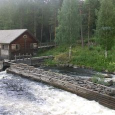
Haverö strömmar
15.9 km
Voxnan och Hylströmmen
54.9 km
Vikstenstorpet
39.1 km
Duvberg
49 km
Gillhovs kyrka
50.6 km
Rätans kyrka
40.2 km
Borgsjö-Haverö församling
28.7 km
Ramsjö Church
27 km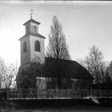
Ängersjö Church
33.4 km
Torps tingslag
50.7 km
Röjan
47.7 km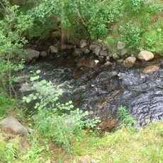
Maljan
17.6 km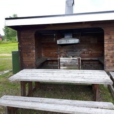
Överturingen lägerplats
25.3 km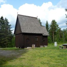
Färila 51:2
30.8 km
Åssjöberget lägerplats
42.5 km
Hermanboda vindskydd
47.7 km
Erikslund
50.5 km
Dubbelbod i Sidsjö
53.4 km
Kvistabäckens flottled
11.2 kmReviews
Visited this place? Tap the stars to rate it and share your experience / photos with the community! Try now! You can cancel it anytime.
Discover hidden gems everywhere you go!
From secret cafés to breathtaking viewpoints, skip the crowded tourist spots and find places that match your style. Our app makes it easy with voice search, smart filtering, route optimization, and insider tips from travelers worldwide. Download now for the complete mobile experience.

A unique approach to discovering new places❞
— Le Figaro
All the places worth exploring❞
— France Info
A tailor-made excursion in just a few clicks❞
— 20 Minutes