
Svedängssved, husgrund, historisk tid i Jämtland (Alsen 179:2)
Location: Krokom Municipality
GPS coordinates: 63.39756,13.97828
Latest update: April 20, 2025 14:46
متحف موس أوليه
12.4 km
Östersund
18.6 km
Alsensjön
6 km
Mattmars kyrka
11.2 km
Hällberget
5.9 km
Offerdals kyrka
7.5 km
Näldsjön
8.8 km
Offerdals rural municipality
7.7 km
Hällsjön
8.7 km
Mörsils kyrka
19.8 km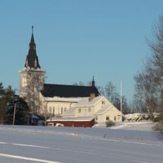
Näskotts church
18 km
Aspås Church
25.5 km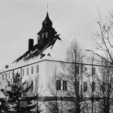
Lits och Rödöns tingslag
25.6 km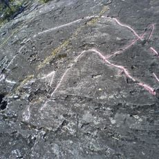
Petroglyphs of Gärde
20.6 km
Aspås 1:2
25.5 km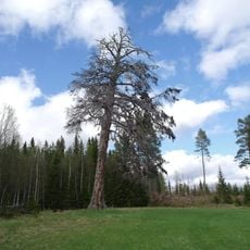
Ristallen, Risänget Semlan
14.8 km
Glösa rock carvings
2.6 km
Aspås 1:1
25.5 km
Tossögården
27.1 km
Åse kalkmuseum
10.6 km
Droppstenen
10 km
Kroksgård
26.3 km
Hissmofors folkets hus
26.1 km
Ubyn
11.5 km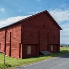
Kornlada
11.5 km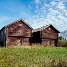
Härbre och kornlador i Mällbyn
11.3 km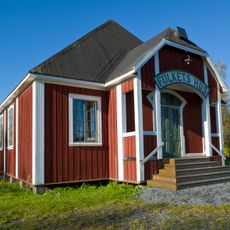
Hissmofors folkets hus
26.1 km
Mattmar 39:1
11.2 kmReviews
Visited this place? Tap the stars to rate it and share your experience / photos with the community! Try now! You can cancel it anytime.
Discover hidden gems everywhere you go!
From secret cafés to breathtaking viewpoints, skip the crowded tourist spots and find places that match your style. Our app makes it easy with voice search, smart filtering, route optimization, and insider tips from travelers worldwide. Download now for the complete mobile experience.

A unique approach to discovering new places❞
— Le Figaro
All the places worth exploring❞
— France Info
A tailor-made excursion in just a few clicks❞
— 20 Minutes