
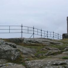
Varberg 4:1, röse i Halland
Location: Varberg Municipality
GPS coordinates: 57.08705,12.24011
Latest update: November 24, 2023 23:09
Rantzauklippan
1.8 km
Drottning Blankas plats
1.7 km
Nöjesparken, Varberg
2 km
Söderhöjd
1.5 km
Södra kyrkogården, Varberg
1.9 km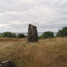
Randens hög
1.3 km
Freden
1.8 km
Västra Vallgatan 53
2 km
Adamssonska huset
2 km
Subbe fyr
228 m
Varberg 88:2
1.9 km
Gamla Påskberget
2 km
Varberg 119:1
1.8 km
Varberg 59:1
1.2 km
Varberg 72:1
1.9 km
Varberg 72:2
1.9 km
Varberg 11:1
1.9 km
Gamla Påskberget
2 km
Varberg 5:1
155 m
Varberg 3:1
205 m
Varberg 15:1
2 km
Varberg 24:1
824 m
Varberg 2:1
1.2 km
Cannon
2 km
Cannon
2 km
Cannon
2 km
Kanonberget
2 km
Cannon
2 kmReviews
Visited this place? Tap the stars to rate it and share your experience / photos with the community! Try now! You can cancel it anytime.
Discover hidden gems everywhere you go!
From secret cafés to breathtaking viewpoints, skip the crowded tourist spots and find places that match your style. Our app makes it easy with voice search, smart filtering, route optimization, and insider tips from travelers worldwide. Download now for the complete mobile experience.

A unique approach to discovering new places❞
— Le Figaro
All the places worth exploring❞
— France Info
A tailor-made excursion in just a few clicks❞
— 20 Minutes