
Habo 81:1, röse i Västergötland
Location: Habo Municipality
GPS coordinates: 57.93893,13.95274
Latest update: October 11, 2025 17:04
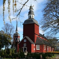
Habo Church
7.2 km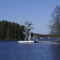
Mullsjön
5.3 km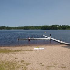
Stråken
8.2 km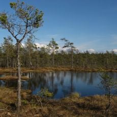
Dumme mosse
16.7 km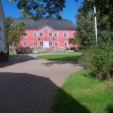
Björnebergs gård
17.6 km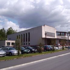
Mullsjö Pentecostal Church
5.2 km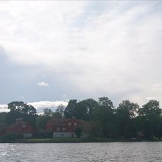
Näs gård
13.4 km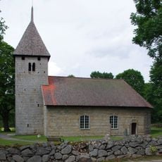
Härja Church
15 km
Furusjö Alliance Church
1.2 km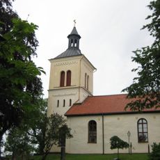
Järstorp Church
17.9 km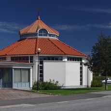
Saint John's Church
8.4 km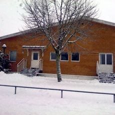
Salem Church in Habo
7.8 km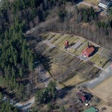
Fiskebäck
10.5 km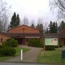
Habo Mission Covenant Church
8.5 km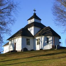
Vättaks kyrka
17.4 km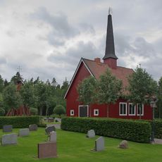
Fiskebäck Chapel
11.2 km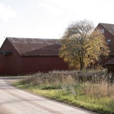
Ryttaren peat factory
15.7 km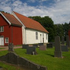
Fivlered Church
17.4 km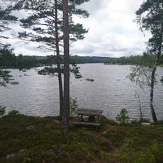
Brängen
12.6 km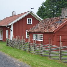
Penselmuseet, Bankeryd
13.7 km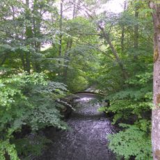
Nyckelås
14.3 km
Ryfors
8.2 km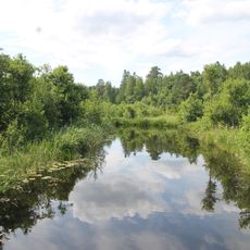
Domneån nature reserve
12 km
Eklundshovs vattenverk och intagsbrunn
18 km
Attarpsbadet
13.4 km
Häggebergs och Granbäcks lövskogar
16.8 km
Slättäng district law
12.5 km
Vistorp, Strängesgården
17.2 kmReviews
Visited this place? Tap the stars to rate it and share your experience / photos with the community! Try now! You can cancel it anytime.
Discover hidden gems everywhere you go!
From secret cafés to breathtaking viewpoints, skip the crowded tourist spots and find places that match your style. Our app makes it easy with voice search, smart filtering, route optimization, and insider tips from travelers worldwide. Download now for the complete mobile experience.

A unique approach to discovering new places❞
— Le Figaro
All the places worth exploring❞
— France Info
A tailor-made excursion in just a few clicks❞
— 20 Minutes