Undersåker 12:1, grave field in Jämtland, Sweden
Location: Åre Municipality
GPS coordinates: 63.32985,13.41376
Latest update: November 21, 2025 08:13
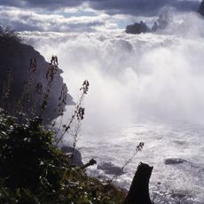
Ristafallet
3.7 km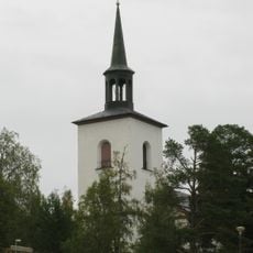
Undersåkers kyrka
1.4 km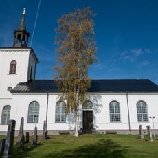
Mörsils kyrka
11.2 km
Prästvallen
8.4 km
Sandtjärndalen
7.9 km
Tall, Uppland Mörsil
7.4 km
Undersåker 181:1
11.3 km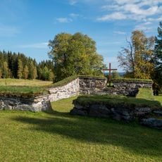
Undersåker 51:1
883 m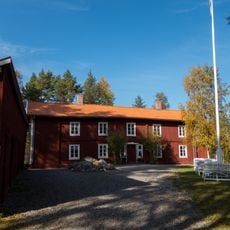
Tossögården
2.2 km
Undersåker 13:1
544 m
Undersåker 179:1
11.3 km
Volohögen
10.6 km
Volohögen
10.7 km
Undersåker 74:2
1 km
Undersåker 78:1
3.1 km
Volohögen
10.7 km
Åre 377:2
11.4 km
Åre 377:3
11.5 km
Undersåker 76:1
904 m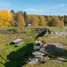
Järpe Skans
3.1 km
Undersåker 74:1
1 km
Går'n på Tossön, Paulsenska huset
2.2 km
Mörsil 52:1
11.2 km
Åre Sleddog Adventures
8.4 km
Asymmetrisk tvåsamhet – tillsammans följs vi åt
11.2 km
Scenic viewpoint
3.7 km
Scenic viewpoint
3.7 km
Scenic viewpoint
2.1 kmReviews
Visited this place? Tap the stars to rate it and share your experience / photos with the community! Try now! You can cancel it anytime.
Discover hidden gems everywhere you go!
From secret cafés to breathtaking viewpoints, skip the crowded tourist spots and find places that match your style. Our app makes it easy with voice search, smart filtering, route optimization, and insider tips from travelers worldwide. Download now for the complete mobile experience.

A unique approach to discovering new places❞
— Le Figaro
All the places worth exploring❞
— France Info
A tailor-made excursion in just a few clicks❞
— 20 Minutes