
Sm 118, Barkeryds kyrkogård, swedish runic inscription
Location: Nässjö Municipality
Location: Småland
GPS coordinates: 57.72129,14.58459
Latest update: June 12, 2025 09:29
Norra Solberga Church
15.4 km
Svarttorp
13.2 km
East Vättern Scarp landscape
18.5 km
Knutstorp
17.1 km
Torsa stenar
15.8 km
Lekeryd Church
11.4 km
Nässjö railway museum
10.4 km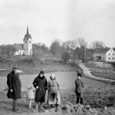
Järsnäs Church
6.3 km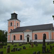
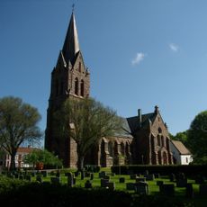
Barkeryds kyrka
30 m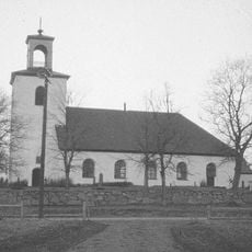
Nässjö gamla kyrka
6 km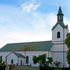
Rogberga Church
18 km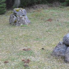
Gräberfeld von Fagertofta
10.2 km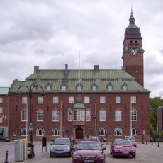
Nässjö stadshus
10.1 km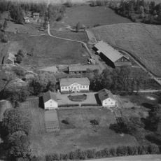
Hakarps säteri
18.5 km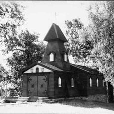
Sankta Valborgs kapell
12.8 km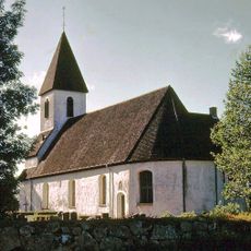
Forserum Church
8.1 km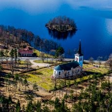
Almesåkra Church
18.3 km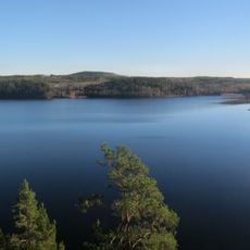
Uvaberget Tenhult
14.7 km
Uvaberget Tenhult
15.6 km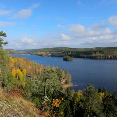
Uvabergets naturskog och Ramlaklint
17.4 km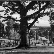
Lövhult
12.8 km
Barkerydssjön
563 m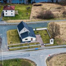
Fredriksdal Church
11.6 km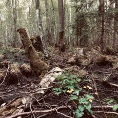
Strömsholmsskogen
15.6 km
Biografen
10.5 km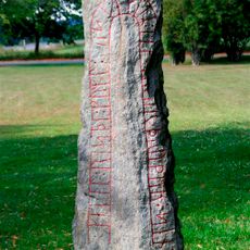
Sm 121, Rogberga kyrkogård
18.1 km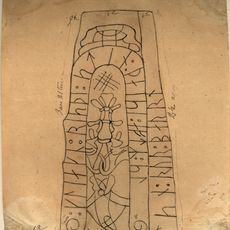
Sm 133, Sunneränga
18.9 km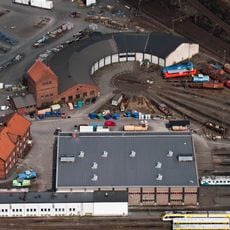
Nässjö lokstall
8.9 kmReviews
Visited this place? Tap the stars to rate it and share your experience / photos with the community! Try now! You can cancel it anytime.
Discover hidden gems everywhere you go!
From secret cafés to breathtaking viewpoints, skip the crowded tourist spots and find places that match your style. Our app makes it easy with voice search, smart filtering, route optimization, and insider tips from travelers worldwide. Download now for the complete mobile experience.

A unique approach to discovering new places❞
— Le Figaro
All the places worth exploring❞
— France Info
A tailor-made excursion in just a few clicks❞
— 20 Minutes