
Elaks höjd, röse i Småland (Rydaholm 131:1)
Location: Värnamo Municipality
GPS coordinates: 56.97382,14.30196
Latest update: April 22, 2025 11:26
Lekaryd
17.3 km
Småland Runic Inscription 39
14.8 km
Hjortsberga Church
12.2 km
Dörarp Church
17.9 km
Slätthög Church
13.8 km
Smålands bil-, musik- och leksaksmuseum
1.6 km
Alvesta köping
17.2 km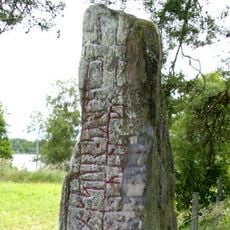
Smålands runinskrifter 42
16.1 km
Mistelås Church
5.1 km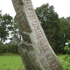
Transjö stone
12.6 km
Gällaryds kyrka
17.6 km
Kvenneberga kapell
13.7 km
Högakull
12.5 km
Skogskyrkan, Alvesta
17.6 km
Lantbruksmuseet Hjärtenholm
16.4 km
Årån
12.1 km
Allbo tingslag
17.3 km
Kroxnäs
16.8 km
Kroppsjön
7 km
Riksdagsmannagården
17.4 km
Högakulls gård, Björkerås gård
12.4 km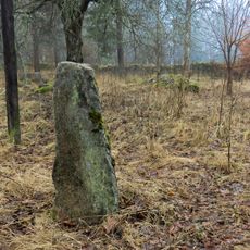
Moheda 7:1
16.6 km
Eds herrgård
14.7 km
Moheda 116:1
16.6 km
Moheda 117:1
16.8 km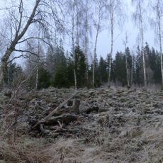
Hökarör
15 km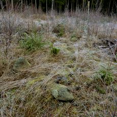
Moheda 126:2
15.7 km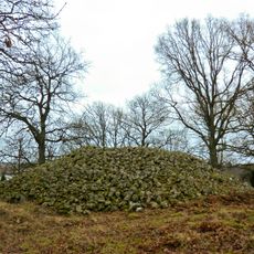
Kongshögen/Kongsgraven
16.5 kmReviews
Visited this place? Tap the stars to rate it and share your experience / photos with the community! Try now! You can cancel it anytime.
Discover hidden gems everywhere you go!
From secret cafés to breathtaking viewpoints, skip the crowded tourist spots and find places that match your style. Our app makes it easy with voice search, smart filtering, route optimization, and insider tips from travelers worldwide. Download now for the complete mobile experience.

A unique approach to discovering new places❞
— Le Figaro
All the places worth exploring❞
— France Info
A tailor-made excursion in just a few clicks❞
— 20 Minutes