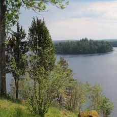
Kopparhult, lägenhetsbebyggelse i Småland (Mistelås 74:1)
Location: Alvesta Municipality
GPS coordinates: 57.04894,14.38542
Latest update: November 8, 2025 16:49
Högakull
4.4 km
Brotorpabäck
3.4 km
Förebergsåsen
4.8 km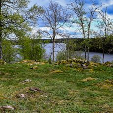
Högakulls gård, Björkerås gård
4.3 km
Mistelås 19:3
3.4 km
Rydaholm 185:2
4.9 km
Mistelås 19:4
3.3 km
Mistelås 33:1
3.9 km
Jönstorp
3.4 km
Mistelås 212
3 km
Mistelås 116
3.5 km
Mistelås 231
4.1 km
Mistelås 23:1
3.5 km
Mistelås 19:2
3.4 km
Mistelås 150
3.3 km
Mistelås 33:3
3.9 km
Mistelås 19:1
3.4 km
Eriksbygget
2.1 km
Mistelås 203
3.6 km
Mistelås 206
3.5 km
Mistelås 33:2
3.9 km
Rydaholm 185:1
4.9 km
Mistelås 27:1
2.1 km
Mistelås 33:4
3.9 km
Erngislabygget
968 m
Mistelås 9:1
3.1 km
Scenic viewpoint
4.5 km
Scenic viewpoint
4.4 kmReviews
Visited this place? Tap the stars to rate it and share your experience / photos with the community! Try now! You can cancel it anytime.
Discover hidden gems everywhere you go!
From secret cafés to breathtaking viewpoints, skip the crowded tourist spots and find places that match your style. Our app makes it easy with voice search, smart filtering, route optimization, and insider tips from travelers worldwide. Download now for the complete mobile experience.

A unique approach to discovering new places❞
— Le Figaro
All the places worth exploring❞
— France Info
A tailor-made excursion in just a few clicks❞
— 20 Minutes