Överluleå 48:1, röse i Norrbotten
Location: Boden Municipality
GPS coordinates: 65.88486,21.43860
Latest update: October 26, 2025 19:43
Boden Fortress
14.4 km
Boden Municipality
11.9 km
Boden Garrison
11.6 km
Nordpoolen
13.7 km
Försvarsmuseum Boden
14.1 km
Boden Fortress Radio Bunker
10.4 km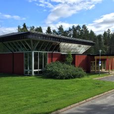
Skogskapellet
17.8 km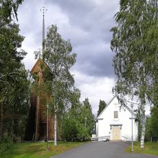
Gunnarsbyns kyrka
28.2 km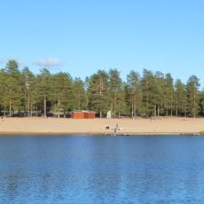
Aldersjön
14.4 km
Selets bruk
27.2 km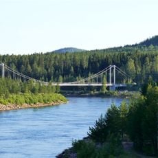
Svedjebron
14 km
Matteuskyrkan, Boden
16.2 km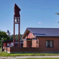
Rörvikskyrkan
13.2 km
Mikaelskyrkan, Boden
10.5 km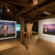
Oats Warehouse County Hall of Arts
11.7 km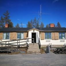
Fästningsguiden i Norr AB
14.4 km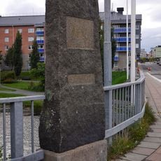
Överluleå 54:1
13.4 km
Public beach Aldersjön
14.4 km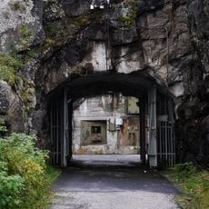
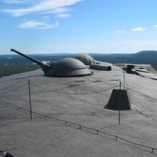
Rödbergsfortet
14.4 km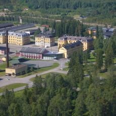
Försvarsmuseum Boden
14 km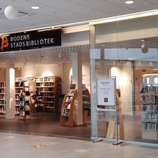
Boden Public Library
13.1 km
Mariakyrkan
19.7 km
Western Farm
12.4 km
Dansande björnar (Dancing bears)
12.4 km
Work of art, statue
13.2 km
Work of art
13.7 km
Scenic viewpoint
27.6 km
Scenic viewpoint
17.3 kmReviews
Visited this place? Tap the stars to rate it and share your experience / photos with the community! Try now! You can cancel it anytime.
Discover hidden gems everywhere you go!
From secret cafés to breathtaking viewpoints, skip the crowded tourist spots and find places that match your style. Our app makes it easy with voice search, smart filtering, route optimization, and insider tips from travelers worldwide. Download now for the complete mobile experience.

A unique approach to discovering new places❞
— Le Figaro
All the places worth exploring❞
— France Info
A tailor-made excursion in just a few clicks❞
— 20 Minutes