Råneå 673:1, stensättning i Norrbotten
Location: Luleå Municipality
GPS coordinates: 65.97124,22.33939
Latest update: November 8, 2025 22:55

Melderstein
8.7 km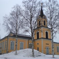
Råneå Church
13 km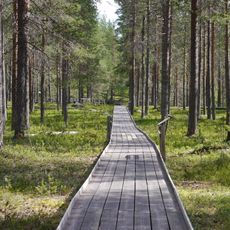
Fattenborg
14.1 km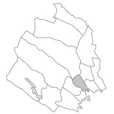
Råneå tingslag
12.8 km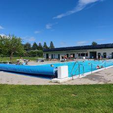
Rånepoolen
13.4 km
Lövberget
12.6 km
Bränseln
8.1 km
Norra Kölens naturreservat
2.9 km
Umpomyran
2.7 km
Tväråkölen
6.3 km
Kängsö lighthouse
14.2 km
Bjurforsen
10.4 km
Töre 469:1
13.8 km
Töre 123:2
12.5 km
Töre 320:1
14.2 km
Töre 53:2
13.8 km
Töre 53:1
13.9 km
Vitåfors maskinmuseum
1.8 km
Töre 266:1
14.3 km
Råneå 676:1
460 m
Råneå 660:1
11.5 km
Töre 310:1
13 km
Töre 308:2
13 km
Töre 274:1
13.7 km
Råneå 153:1
14.1 km
Töre 308:1
13 km
Töre 127:1
11.7 km
Töre 123:1
12.5 kmReviews
Visited this place? Tap the stars to rate it and share your experience / photos with the community! Try now! You can cancel it anytime.
Discover hidden gems everywhere you go!
From secret cafés to breathtaking viewpoints, skip the crowded tourist spots and find places that match your style. Our app makes it easy with voice search, smart filtering, route optimization, and insider tips from travelers worldwide. Download now for the complete mobile experience.

A unique approach to discovering new places❞
— Le Figaro
All the places worth exploring❞
— France Info
A tailor-made excursion in just a few clicks❞
— 20 Minutes