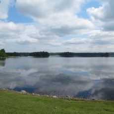
Tockehall, monument in Växjö Municipality, Sweden
Location: Växjö Municipality
GPS coordinates: 57.12730,14.51012
Latest update: November 14, 2025 11:15
Stråken
6.3 km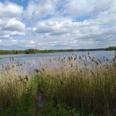
Lammen
7 km
Fiolenområdet
4.2 km
Slätthög 24:1
3.4 km
Trollröret
8.1 km
En spjuttall
3.9 km
Svänamassen
5.8 km
En tall, Äskås Södergård 1:6
2.8 km
Aneboda 2:1
6.1 km
Aneboda 37:1
2.3 km
Aneboda 12:1
3.5 km
Lammhults Folkets hus
6.3 km
Hjälmseryd 244:1
5.2 km
Aneboda 31:1
2.6 km
Hjälmseryd 135:1
7.2 km
Aneboda 21:1
6.7 km
Slätthög 132:1
5.4 km
Hjälmseryd 135:2
7.2 km
Aneboda 28:1
1.3 km
Slätthög 21:1
8.1 km
Aneboda 23:1
2.9 km
Slätthög 26:1
8.2 km
Aneboda 133
4.8 km
Hjälmseryd 4:1
8 km
Hjälmseryd 16:1
7.6 km
Moheda 176
7.8 km
Moheda 214
6.2 km
Aneboda 23:2
2.9 kmReviews
Visited this place? Tap the stars to rate it and share your experience / photos with the community! Try now! You can cancel it anytime.
Discover hidden gems everywhere you go!
From secret cafés to breathtaking viewpoints, skip the crowded tourist spots and find places that match your style. Our app makes it easy with voice search, smart filtering, route optimization, and insider tips from travelers worldwide. Download now for the complete mobile experience.

A unique approach to discovering new places❞
— Le Figaro
All the places worth exploring❞
— France Info
A tailor-made excursion in just a few clicks❞
— 20 Minutes