
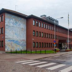
Färgelanda 56:1, building in Färgelanda Municipality, Västra Götaland County, Sweden
Location: Färgelanda Municipality
GPS coordinates: 58.60633,11.95588
Latest update: April 6, 2025 07:34
Gemeinde Vänersborg
26.6 km
Gemeinde Färgelanda
3.6 km
Gemeinde Munkedal
17.9 km
Kärnsjön
18.2 km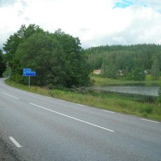
Rådanefors
11.9 km
Herrestadsfjället
21.9 km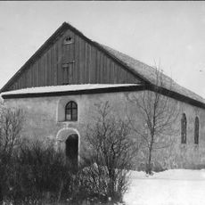
Sundals-Ryrs gamla kyrka
19.2 km
Tingshuset, Munkedal
22.3 km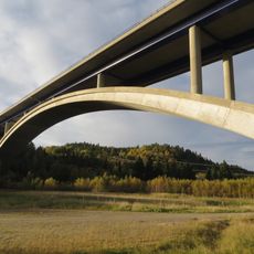
Munkedal Bridge
23.8 km
Mo Church
25.5 km
Frändefors kyrka
22.4 km
Sundals-Ryr Church
16.6 km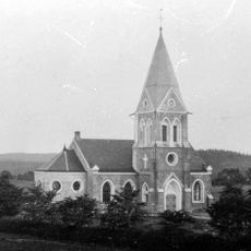
Valbo-Ryrs kyrka
15 km
Västra Bodane lanthandel
13.5 km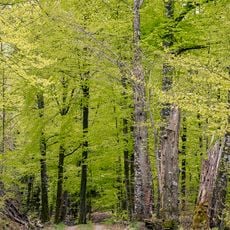
Vågsäter bokskog
19.3 km
Torps kyrka, Dalsland
10 km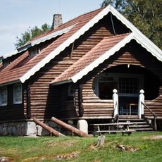
Ödeborgs fornsal
7 km
Råggärds kyrka
17.9 km
Kviström
22.2 km
Sanne Church
8.8 km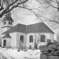
Gesäters kyrka
21.2 km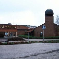
Dalabergskyrkan
26.2 km
Munkedals kapell
20.3 km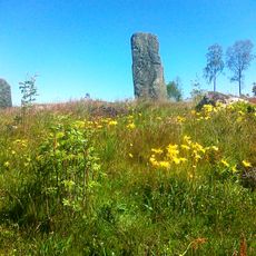
Ättehögskullen
6.3 km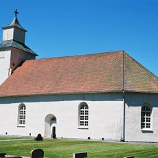
Lerdals kyrka
17.3 km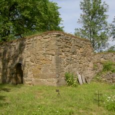
Erikstads kyrkoruin
25.6 km
Kynnefjäll-Sätret
21.4 km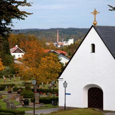
Foss gravkapell
23 kmReviews
Visited this place? Tap the stars to rate it and share your experience / photos with the community! Try now! You can cancel it anytime.
Discover hidden gems everywhere you go!
From secret cafés to breathtaking viewpoints, skip the crowded tourist spots and find places that match your style. Our app makes it easy with voice search, smart filtering, route optimization, and insider tips from travelers worldwide. Download now for the complete mobile experience.

A unique approach to discovering new places❞
— Le Figaro
All the places worth exploring❞
— France Info
A tailor-made excursion in just a few clicks❞
— 20 Minutes