
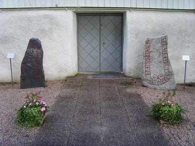
Fölene 3:2, runristning i Västergötland
Location: Herrljunga Municipality
GPS coordinates: 58.08506,12.97195
Latest update: March 6, 2025 17:29
Jättakullen
8.4 km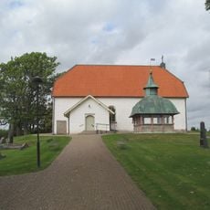
Laske-Vedums kyrka
9.7 km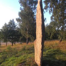
Nycklabacken
679 m
Virkelsborg
6 km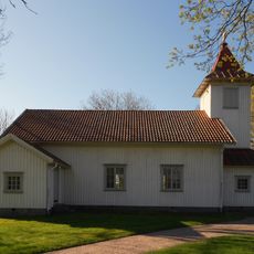
Bråttensby Church
5.5 km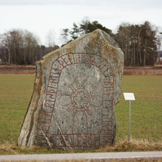
Västergötlands runinskrifter 152
4.7 km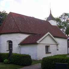
Fölene Church
20 m
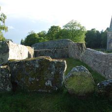
Herrljunga cist
3.9 km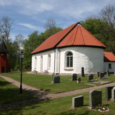
Södra Björke Church
8.8 km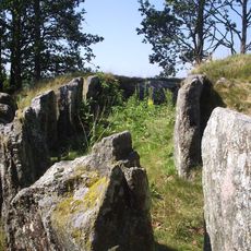
Steinkiste auf dem Lundskullen
8.6 km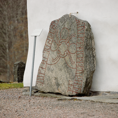
Västergötlands runinskrifter 151
4.7 km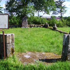
Tarsleds kyrkoruin
1.3 km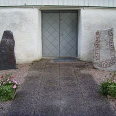
Fölene 3:1
8 m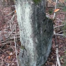
Södra Härene 18:1
8.4 km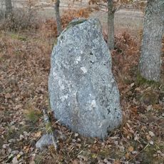
Södra Härene 20:1
8.6 km
Fåglavik Embankment
9.2 km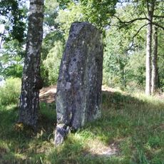
Tuppastenen
2.1 km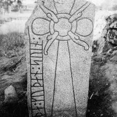
Runristning Vg 156 Remmene kyrkogård
2.7 km
Tumberg 25:1
9.8 km
Södra Härene 5:2
8.3 km
Södra Härene 5:1
8.3 km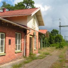
Fåglavik railway station
8.7 km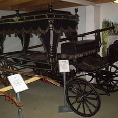
Vagns- och jordbruksmuseum
4.2 km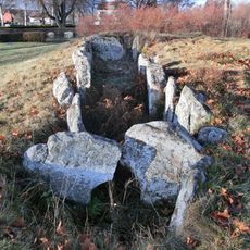
Nya kyrkogården
3.9 km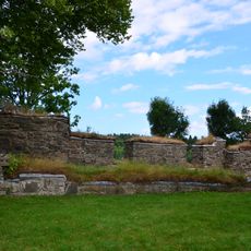
Lundskullen
8.6 km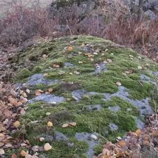
Södra Härene 69:1
8.7 km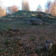
Herrljunga 10:1
4 km
Karla högar
5.4 kmReviews
Visited this place? Tap the stars to rate it and share your experience / photos with the community! Try now! You can cancel it anytime.
Discover hidden gems everywhere you go!
From secret cafés to breathtaking viewpoints, skip the crowded tourist spots and find places that match your style. Our app makes it easy with voice search, smart filtering, route optimization, and insider tips from travelers worldwide. Download now for the complete mobile experience.

A unique approach to discovering new places❞
— Le Figaro
All the places worth exploring❞
— France Info
A tailor-made excursion in just a few clicks❞
— 20 Minutes