
Lena 18:1, building in Vårgårda Municipality, Västra Götaland County, Sweden
Location: Vårgårda Municipality
GPS coordinates: 58.02063,12.62458
Latest update: March 3, 2025 03:26
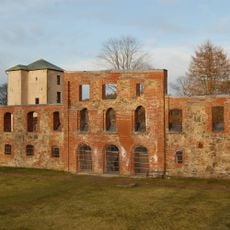
Gräfsnäs castle
9.8 km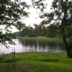
Anten
8.8 km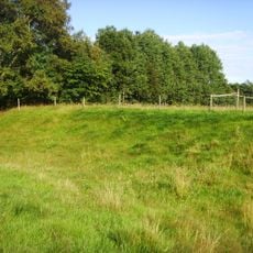
Stynaborg
9.4 km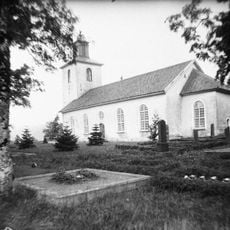
Lena Church
427 m
Hjortmarka
10.9 km
Horla Church
8.6 km
Gräberfeld von Hol
4.9 km
Västergötlands runinskrifter Nor1997;27
5.6 km
Kvarnsjön
10 km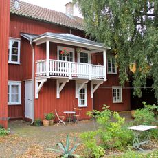
Brunos garvaregård
11.3 km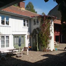
Karlborgska gården
11.2 km
Nygrenska gården
11.3 km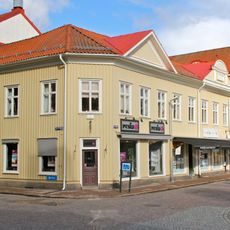
Lenanderska gården
11.4 km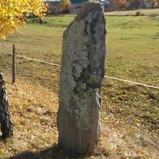
Kullings-Skövde 9:1
11.2 km
Kullings-Skövde 22:1
11.3 km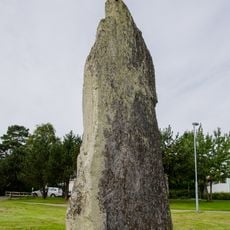
Kullings-Skövde 11:1
11.4 km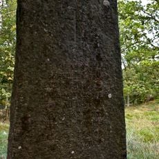
Rolfs grav (nr 1)
10.3 km
Monument Fåglum Brothers
11 km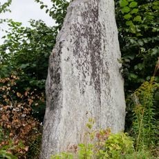
Kullings-Skövde 12:1
11.3 km
Noltorpskyrkan
11.2 km
Nolby gravkapell
10.4 km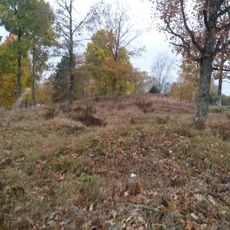
Hol 12:1
4.8 km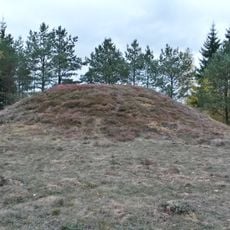
Hol 10:2
4.9 km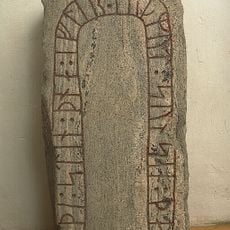
Västergötlands runinskrifter 155
5.6 km
Kullings-Skövde 14:1
11 km
Kullings-Skövde 52:1
11 km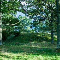
Rolfs grav (nr 1)
10.3 km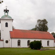
Landskyrkan
10.9 kmReviews
Visited this place? Tap the stars to rate it and share your experience / photos with the community! Try now! You can cancel it anytime.
Discover hidden gems everywhere you go!
From secret cafés to breathtaking viewpoints, skip the crowded tourist spots and find places that match your style. Our app makes it easy with voice search, smart filtering, route optimization, and insider tips from travelers worldwide. Download now for the complete mobile experience.

A unique approach to discovering new places❞
— Le Figaro
All the places worth exploring❞
— France Info
A tailor-made excursion in just a few clicks❞
— 20 Minutes