
Liared 57:1, röse i Västergötland
Location: Ulricehamn Municipality
GPS coordinates: 57.82835,13.72299
Latest update: March 20, 2025 10:47
Galtåsen
11.3 km
Gunillaberg
9.8 km
Mullsjön
13 km
Stråken
10.3 km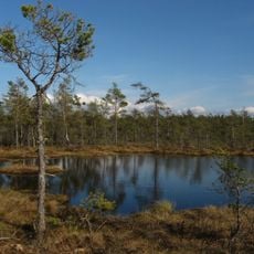
Dumme mosse
17.5 km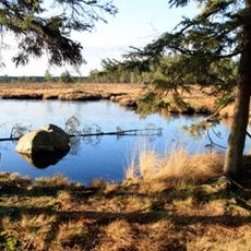
Komosse (naturreservat, Västra Götalands län)
13.5 km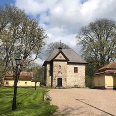
Vinsarp
14.1 km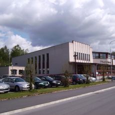
Mullsjö Pentecostal Church
13.3 km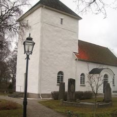
Dalums kyrka
16.5 km
Näs gård
5 km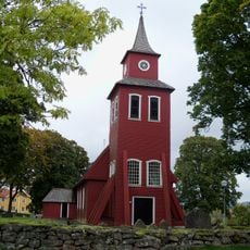
Mulseryd Church
15.4 km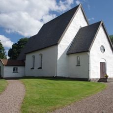
Knätte
10.7 km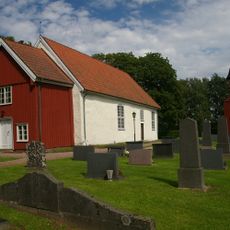
Fivlered Church
13.7 km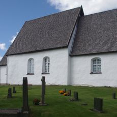
Knätte Church
10.6 km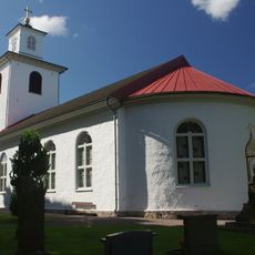
Liared Church
4.6 km
Brängen
7.4 km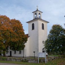
Gullered Church
8.2 km
Komosse (naturreservat, Jönköpings län)
13.2 km
Nyckelås
4 km
Ryfors
10.4 km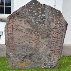
Västergötlands runinskrifter 197
16.5 km
Årås
8 km
Västergötlands runinskrifter 173
13.5 km
Västergötlands runinskrifter 174
16.8 km
Public beach Flatasjön Dalum
16.9 km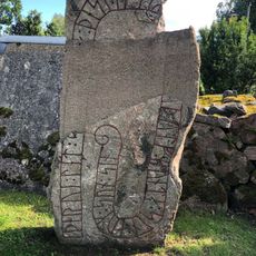
Blidsberg 33:2
17.5 km
Public beach Köttkullasjön
17 km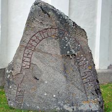
Dalum 10:1
16.5 kmReviews
Visited this place? Tap the stars to rate it and share your experience / photos with the community! Try now! You can cancel it anytime.
Discover hidden gems everywhere you go!
From secret cafés to breathtaking viewpoints, skip the crowded tourist spots and find places that match your style. Our app makes it easy with voice search, smart filtering, route optimization, and insider tips from travelers worldwide. Download now for the complete mobile experience.

A unique approach to discovering new places❞
— Le Figaro
All the places worth exploring❞
— France Info
A tailor-made excursion in just a few clicks❞
— 20 Minutes