Solbacken, Hügelgrab in Schweden
Location: Ulricehamn Municipality
GPS coordinates: 57.84344,13.27829
Latest update: November 21, 2025 06:49

Tissås gård
633 m
Södra Ving 142:1
546 m
Vg 166 Södra Vings kyrkogård
670 m
Södra Ving 148:4
107 m
Södra Ving 175:2
560 m
Södra Ving 23:2
321 m
Södra Ving 62:3
784 m
Kungshögen
151 m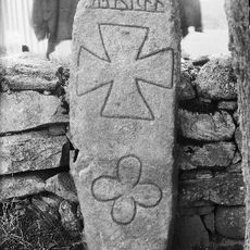
Vg 167 Södra Vings kyrkogård
669 m
Södra Ving 22:1
598 m
Södra Ving 21:2
362 m
Södra Ving 148:2
130 m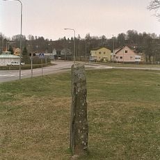
Västergötlands runinskrifter 168
150 m
Härna 16:1
586 m
Södra Ving 234:1
597 m
Härna 11:1
608 m
Södra Ving 175:4
582 m
Södra Ving 175:3
568 m
Södra Ving 175:1
548 m
Härna 16:2
606 m
Södra Ving 62:4
791 m
Kungshögen
151 m
Södra Ving 21:3
345 m
Solbacken
58 m
Södra Ving 23:3
310 m
Södra Ving 23:1
331 m
Kungshögen
136 m
Kungshögen
137 mReviews
Visited this place? Tap the stars to rate it and share your experience / photos with the community! Try now! You can cancel it anytime.
Discover hidden gems everywhere you go!
From secret cafés to breathtaking viewpoints, skip the crowded tourist spots and find places that match your style. Our app makes it easy with voice search, smart filtering, route optimization, and insider tips from travelers worldwide. Download now for the complete mobile experience.

A unique approach to discovering new places❞
— Le Figaro
All the places worth exploring❞
— France Info
A tailor-made excursion in just a few clicks❞
— 20 Minutes