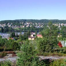
Ärtemark 77:1, Hügelgrab in Schweden
Location: Bengtsfors Municipality
GPS coordinates: 59.08770,12.08712
Latest update: October 29, 2025 20:41
Gemeinde Bengtsfors
9.7 km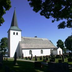
Torrskog Church
9.1 km
Vårvik 11:1
7.3 km
Ärtemark 153:1
5.2 km
Ärtemark 53:1
7.4 km
Ärtemark 54:1
7.4 km
Ärtemark 72:1
5.3 km
Ärtemark 21:2
9.6 km
Ärtemark 56:1
3.9 km
Ärtemark 63:1
5.2 km
Ärtemark 106:1
7.7 km
Ärtemark 154:1
5.1 km
Ärtemark 74:2
6.5 km
Ärtemark 74:3
6.5 km
Ärtemark 57:1
3.6 km
Ärtemark 110:1
9 km
Ärtemark 141:1
4.6 km
Ärtemark 147:1
4.3 km
Ärtemark 37:1
7.9 km
Ärtemark 74:1
6.5 km
Ärtemark 154:2
5.1 km
Ärtemark 163:1
6.2 km
Ärtemark 195:1
4.2 km
Ärtemark 201:1
8 km
Ärtemark 21:1
9.6 km
Scenic viewpoint, tower, Observation tower
9 km
Scenic viewpoint
9.4 km
Scenic viewpoint
9.6 kmReviews
Visited this place? Tap the stars to rate it and share your experience / photos with the community! Try now! You can cancel it anytime.
Discover hidden gems everywhere you go!
From secret cafés to breathtaking viewpoints, skip the crowded tourist spots and find places that match your style. Our app makes it easy with voice search, smart filtering, route optimization, and insider tips from travelers worldwide. Download now for the complete mobile experience.

A unique approach to discovering new places❞
— Le Figaro
All the places worth exploring❞
— France Info
A tailor-made excursion in just a few clicks❞
— 20 Minutes