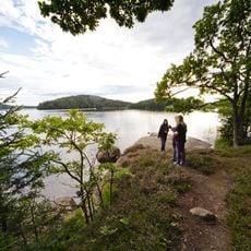
Örby 57:2, stenkammargrav i Västergötland
Location: Mark Municipality
GPS coordinates: 57.42645,12.63730
Latest update: November 18, 2025 00:32
Gäddevik
175 m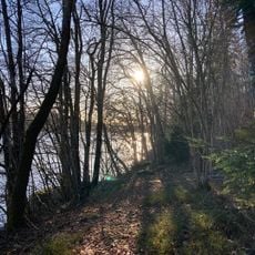
Hyltenäs kulle
1.2 km
Käringstenen
3.6 km
Berghem 33:1
2.3 km
Torestorp 4:1
1.9 km
Öxnevalla 31:1
2.3 km
Berghem 29:1
3 km
Berghem 24:1
3.7 km
Berghem 88:1
3.8 km
Öxnevalla 33:2
2.2 km
Torestorp 8:1
3.7 km
Berghem 119
252 m
Öxnevalla 33:1
2.2 km
Berghem 88:2
3.8 km
Örby 66:1
3.9 km
Örby 83:1
3.7 km
Vareberget
3.5 km
Örby 40:1
1.9 km
Berghem 81:1
2.6 km
Gullerör
3.6 km
Berghem 23:2
3.9 km
Scenic viewpoint
1.3 km
Scenic viewpoint
1.2 km
Scenic viewpoint
1.3 km
Scenic viewpoint
1.3 km
Scenic viewpoint
1.2 km
Scenic viewpoint
3.6 km
Scenic viewpoint
3.3 kmReviews
Visited this place? Tap the stars to rate it and share your experience / photos with the community! Try now! You can cancel it anytime.
Discover hidden gems everywhere you go!
From secret cafés to breathtaking viewpoints, skip the crowded tourist spots and find places that match your style. Our app makes it easy with voice search, smart filtering, route optimization, and insider tips from travelers worldwide. Download now for the complete mobile experience.

A unique approach to discovering new places❞
— Le Figaro
All the places worth exploring❞
— France Info
A tailor-made excursion in just a few clicks❞
— 20 Minutes