
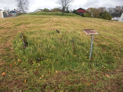
Falköping 5:1, stone setting in Falköping Municipality, Västra Götaland County, Sweden
Location: Falköping Municipality
GPS coordinates: 58.16633,13.57360
Latest update: April 15, 2025 07:53
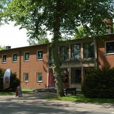
Falbygden museum
1.3 km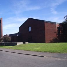
Fredriksberg Church
457 m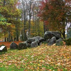
Kyrkerörs gånggrift
1.2 km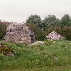
Åttagårdens gånggrift
236 m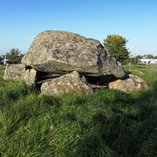
Hjälmars rör
468 m
Firse Sten
1.5 km
Hällkistan vid Skytten
29 m
Lusthushögen
1.5 km
Vartofta och Frökinds domsaga
1.2 km
Falköping 24:1
1.2 km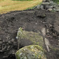
Falköping 7:1
1.5 km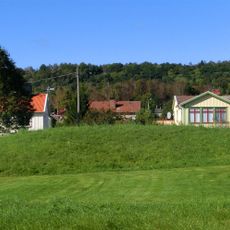
Falköping 12:2
1.8 km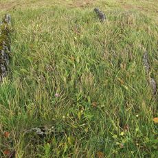
Falköping 5:2
36 m
Falköping 12:1
1.8 km
Falköping 21:1
1.5 km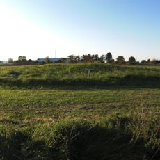
Falköping 1:1
652 m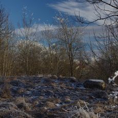
Falköping 15:2
1.8 km
Karl Botvids kulle
1.3 km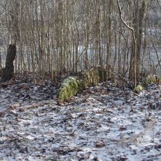
Falköping 15:1
1.7 km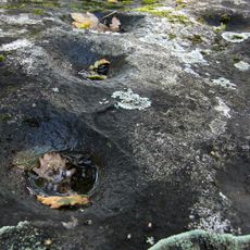
Ballersten
1.2 km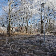
Falköping 14:1
1.7 km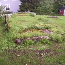
Trädgårdens gånggrift
1.8 km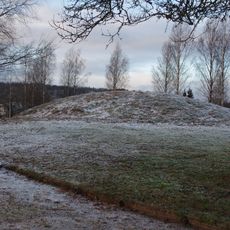
Falköpings västra 16:1
1.3 km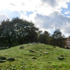
Trinnöja, Falköping
1.2 km
Falköpings västra 22:1
1.8 km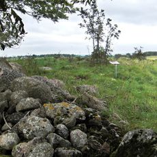
Falköpings östra 2:1
1.3 km
Falköpings östra 5:1
1.2 km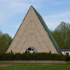
Uppståndelsens kapell
1.8 kmReviews
Visited this place? Tap the stars to rate it and share your experience / photos with the community! Try now! You can cancel it anytime.
Discover hidden gems everywhere you go!
From secret cafés to breathtaking viewpoints, skip the crowded tourist spots and find places that match your style. Our app makes it easy with voice search, smart filtering, route optimization, and insider tips from travelers worldwide. Download now for the complete mobile experience.

A unique approach to discovering new places❞
— Le Figaro
All the places worth exploring❞
— France Info
A tailor-made excursion in just a few clicks❞
— 20 Minutes