Främmestad 77:1, hällristning i Västergötland
Location: Essunga Municipality
GPS coordinates: 58.26309,12.71679
Latest update: November 8, 2025 03:18

Anestad Västergården
871 m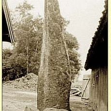
Kung Anes sten
263 m
Baljemostenarna
1.2 km
Främmestad 80:1
505 m
Malma 34:1
2.1 km
Baljemostenarna
1.2 km
Främmestad 37:2
556 m
Hårdstenen
753 m
Främmestad 55:1
1.9 km
Främmestad 38:2
675 m
Främmestad 38:3
664 m
Glosshögen
562 m
Främmestad 41:1
590 m
Främmestad 41:2
576 m
Främmestad 36:1
438 m
Främmestad 38:1
690 m
Främmestad 47:1
755 m
Främmestad 53:3
2.3 km
Främmestad 34:1
207 m
Främmestad 71:1
1.6 km
Främmestad 37:3
544 m
Främmestad 135:1
1.6 km
Främmestad 37:1
564 m
Främmestad 36:4
422 m
Främmestad 53:4
2.3 km
Främmestad 83:1
1.6 km
Längnum 5:1
1.9 km
Malma 40:1
1.7 kmReviews
Visited this place? Tap the stars to rate it and share your experience / photos with the community! Try now! You can cancel it anytime.
Discover hidden gems everywhere you go!
From secret cafés to breathtaking viewpoints, skip the crowded tourist spots and find places that match your style. Our app makes it easy with voice search, smart filtering, route optimization, and insider tips from travelers worldwide. Download now for the complete mobile experience.

A unique approach to discovering new places❞
— Le Figaro
All the places worth exploring❞
— France Info
A tailor-made excursion in just a few clicks❞
— 20 Minutes